
Cold Front Should Break The Louisiana Heatwave Today
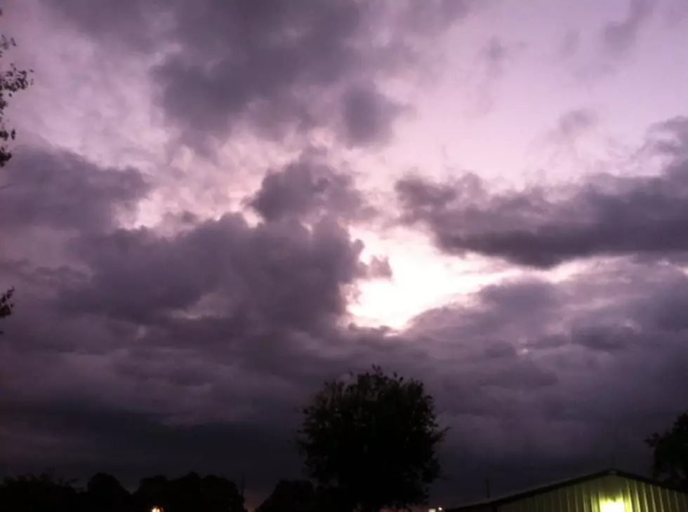
The past week or so it has almost been unbearable to step outside of an air-conditioned anything in the Louisiana summer. Heat indices have been topping 105 degrees on a regular basis. But today, we should get a brief respite from the sweltering sauna that is July in the south. A very rare July cold front is expected to push across the state during the day.
This front should create an increased threat of rain and maybe some thunderstorms across the state as it moves through. You can check the current National Weather Service radar scan to see where the precipitation happens to be right now.
Before you run to the closet to grab a sweater let's be realistic about this. It will still be quite warm. The high temperatures will still reach 90 in many places. However, the humidity won't be nearly as fierce. There will also be a little more cloud cover and a better chance of showers too.
You can expect this brief break from the heat to make mornings a little more pleasant on Sunday and Monday. By Tuesday the humidity will start to ease back into the picture and the muggy mornings and afternoon thunderstorms will return.
Meanwhile, there is good news out of the tropics. A tropical wave that was being monitored by the National Hurricane Center has become even more disorganized. Forecasters are no longer considering that weather system to be a credible threat for further development.
More From 97.3 The Dawg


