Danny Weakens To Tropical Storm Status
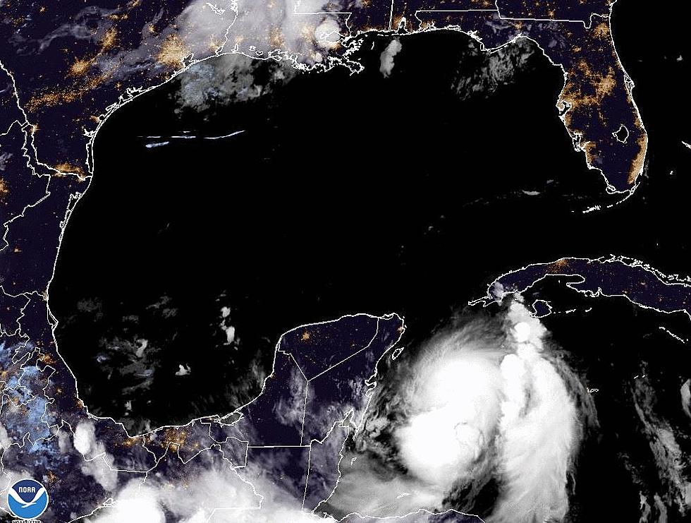
The upper level wind shear and an influx of drier air has done just what forecasters predicted it would do. It has taken Hurricane Danny and weakened it to Tropical Storm Danny. There has been a huge change in intensity in the last 24 hours and the storm is looking less and less formidable on visible satellite pictures.
The National Hurricane Center says the maximum sustained winds for the system are now at 45 mph. This is considerably less than the 100 mph the center was observing yesterday. The forecast for Danny calls for the system get weaker and weaker as it moves over the Leeward Islands. Danny will still be at minimal tropical storm strength when it crosses the islands so tropical storm warnings have been posted.
The forecast calls for Danny to weaken to tropical depression status as it near Puerto Rico. The system is expected to lose its tropical characteristics over the Bahamas and simply become an area of thunderstorms before it is swept out to sea with the next frontal system pushing off the U.S. mainland.
More From 97.3 The Dawg


