Hurricane Center Watching Storm System Off Southeast Coast
This is supposed to be a below average tropical season according to the models and the forecasters. However, Mother Nature may not be waiting for June 1st, the official start to hurricane season, to get a tropical cyclone spinning in the sub-tropical Atlantic basin.
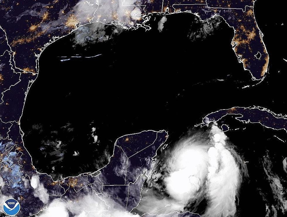
An area of disturbed weather just off the east coast of Florida has now combined with a surface low pressure system to give forecasters at the National Hurricane Center in Coral Gables Florida something to be concerned with.
Right now the system is simply a lot of showers and thunderstorms but there is a definite potential for the system to develop a closed center of circulation over the next 12-24 hours. The Hurricane Center currently gives the system a 60% probability of reaching tropical cyclone status within the next 48 hours.
Many of the forecast models do show further development of this system with a continued northerly motion. If the models and forecasters are correct in their assumptions a tropical depression could form as early as tonight or tomorrow. The motion of the system would then likely carry it on shore in coastal South Carolina or North Carolina.
Should this system strengthen beyond tropical depression status to that of a tropical storm it would be the first named storm of the 2015 Atlantic Hurricane Season. The name it would be given would be Ana
More From 97.3 The Dawg


