Lafayette Weather – Flooding Rains Possible
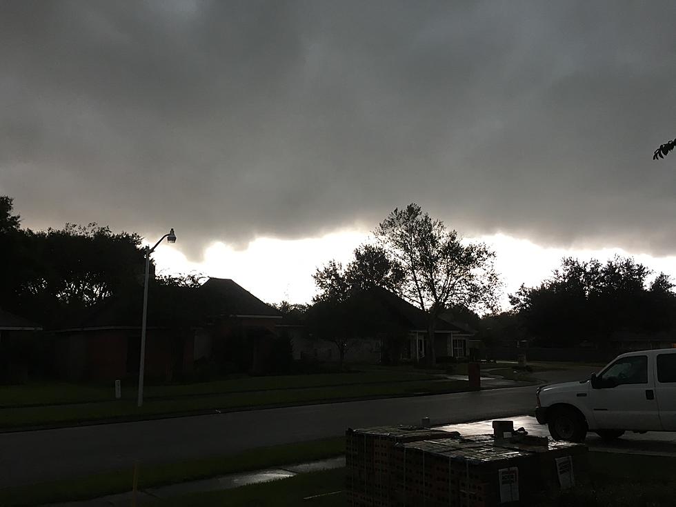
Winter in Louisiana is not a snow white wonderland. It is more like a squishy brown mess of dead grass, leaves and mud. It looks like we'll be getting more of the mud over the next few days as another storm system is expected to dump from 3-6 inches of rainfall on the area between midday Tuesday and early Thursday morning.
This low pressure system is pushing out of Texas and is pushing an abundance of moisture out of the Gulf of Mexico right over the top of Louisiana. This moist air combined with the upper level winds of the sub-tropical jet stream and instability created by the diffluence aloft will generate some heavy downpours of rain over the next 48 hours.
Dave Baker our official meteorologist for 97.3 The Dawg and KATC TV has a very wet forecast for today. A quick look at the Power Doppler HD radar will give you an idea of where the heaviest rain is in relation to where you happen to be right now.
There is a potential for severe weather with this system. While it appears to be a rainmaker, we can't rule out severe weather watches especially for Wednesday and Wednesday night. I hope you took our advice and cleaned out your gutters and made sure the storm drains around your house were clear of debris from the past weekend's storms.
More From 97.3 The Dawg