Lafayette Weather – Maybe More Storms Saturday
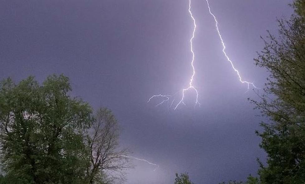
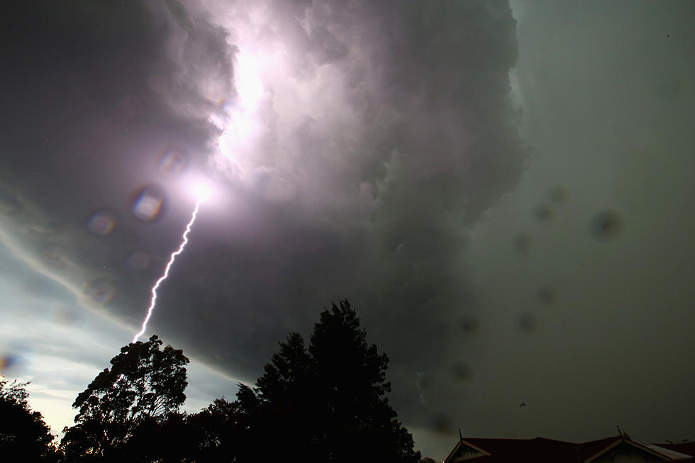
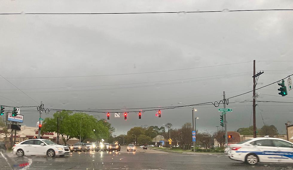
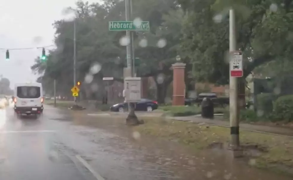
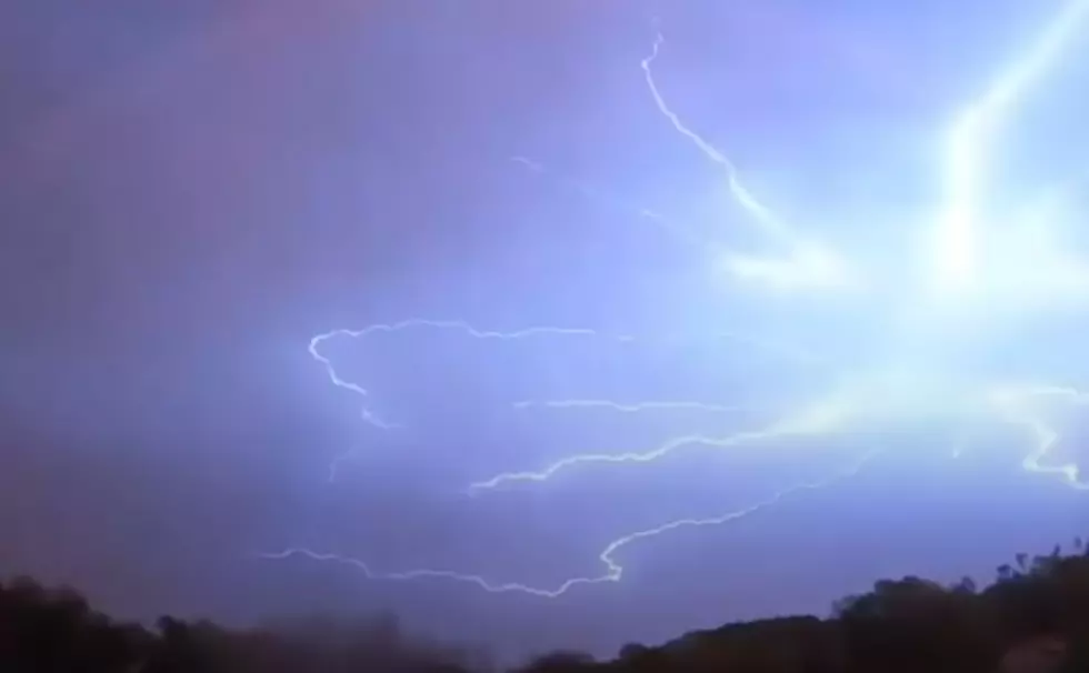
The past few nights around Acadiana many residents have experienced strong gusty winds, a lot of lightning, and some very heavy downpours. These storms have happened a little later in the day than our usual afternoon showers or thunderstorms which tend to blow up between two and four.
The past few day's storms have been the result of some energy impulses in the atmosphere that began over Mississippi. This little blip of energy pushed storms against the grain if you will. Instead of the usual west to east movement of weather, these storms came from the east moving to the west.
The round of thunderstorms Tuesday caused some significant damage to the area. Wednesday's storms weren't quite as volatile. The forecast for the next few days does call for at least the chance of a thunderstorm or two but it looks like the better chances of storms may come late in the day on Saturday.
Forecasters believe a frontal boundary will get close enough to the region by late in the day on Saturday to fire up storms that might linger into Sunday morning. There is also a chance this frontal system could actually push through the area bringing us some slightly cooler but drier air for less than a day.
More From 97.3 The Dawg

