Lafayette Weather – Mild Today, Rainy And Colder Thursday
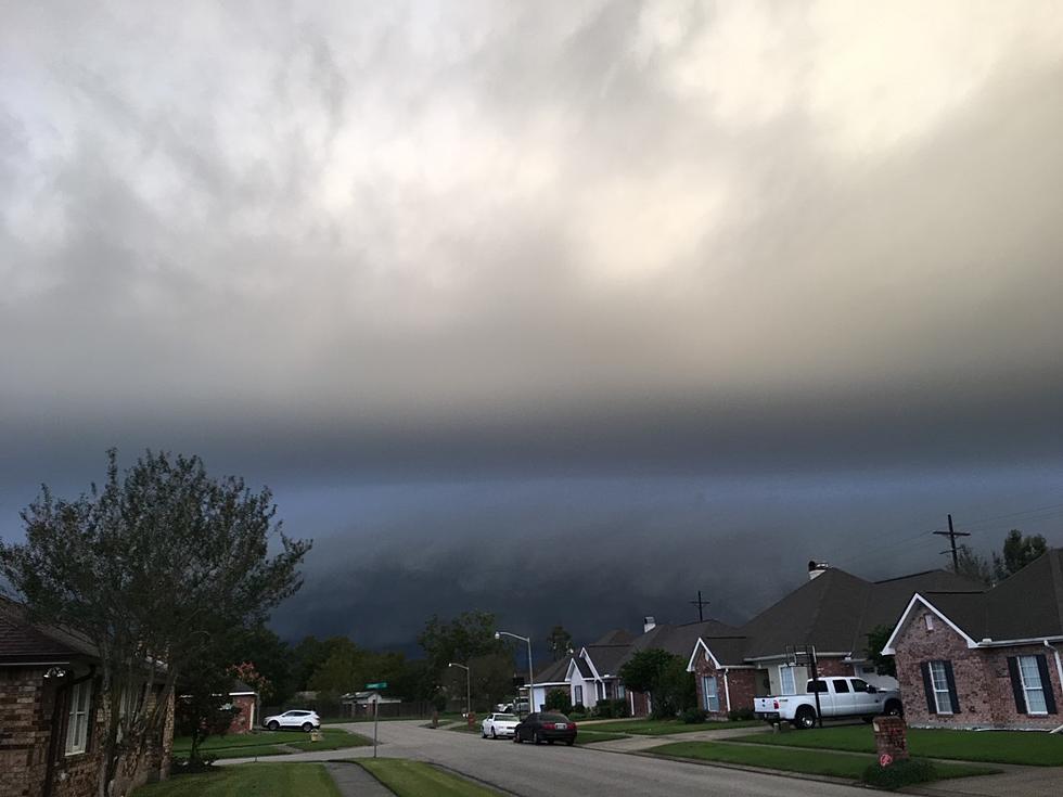
It's been a nice little taste of Spring in Acadiana for the past couple of days. The warm sunshine and the gentle breezes have made the middle of January seem more like late March. That is about to change as an approaching storm system is expected to create rain and thunderstorms across most of the area tomorrow.
As you wake up this morning fog is going to be your biggest concern. A low pressure system off to the west is pulling up plenty of moisture from the Gulf of Mexico and that is settling in over South Louisiana for the pre-dawn hours. A dense fog advisory has been issued for much of South Louisiana from the Texas line to the Baton Rouge area and as far north as Alexandria.
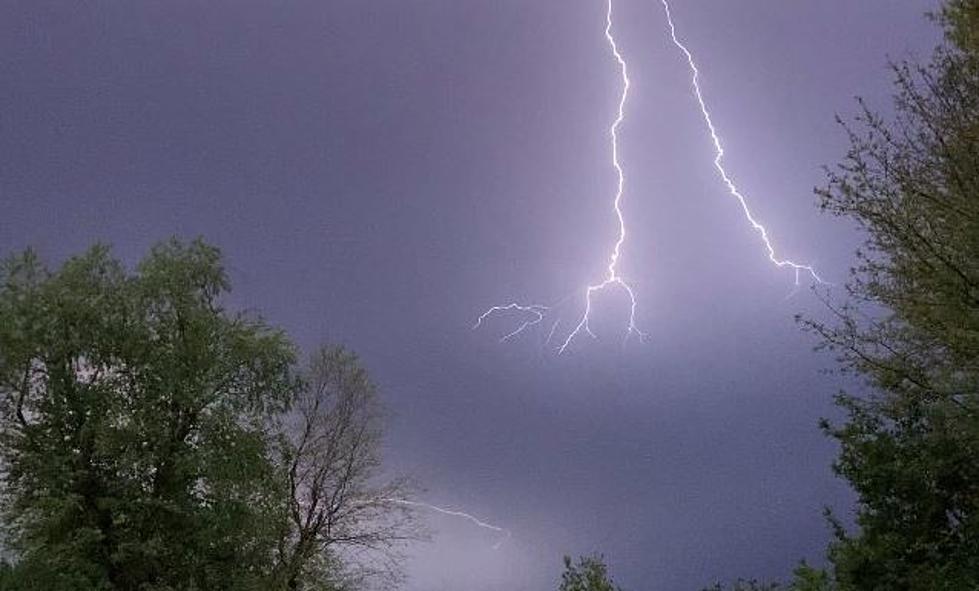
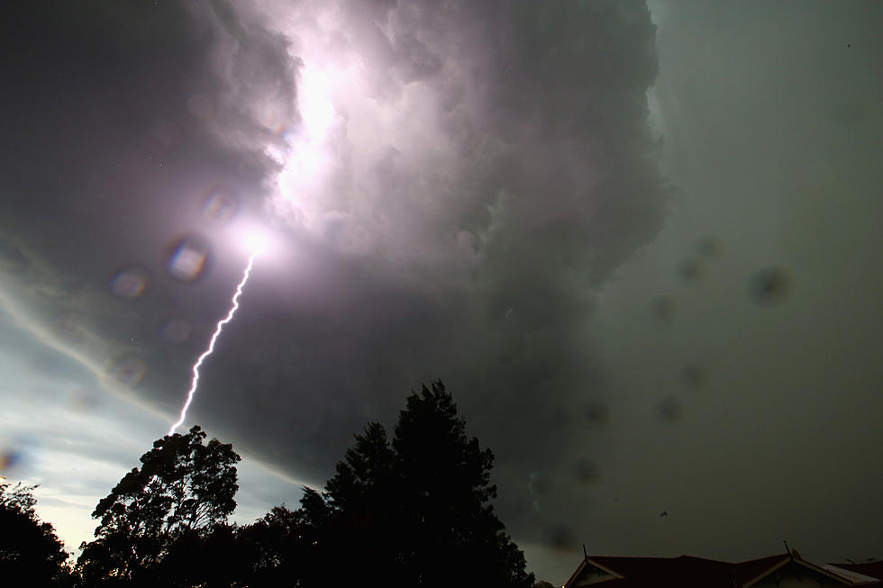
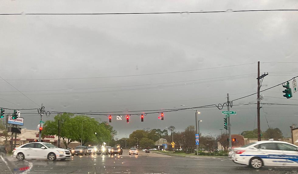
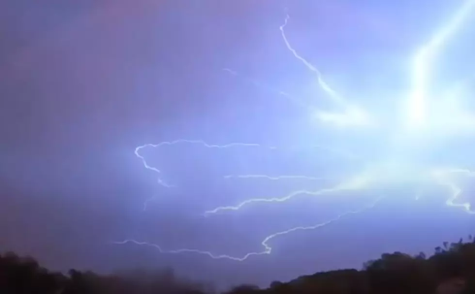
A cold front is currently draped across the mid section of the state this morning and later today and tonight it will slowly inch southward. A vigorous upper level system will spin off a surface low in deep South Texas later today and this system will move northeast across Acadiana tomorrow. The abundant moisture and unsettled atmosphere will create a 90% chance of rain and thunderstorms for Acadiana tomorrow.
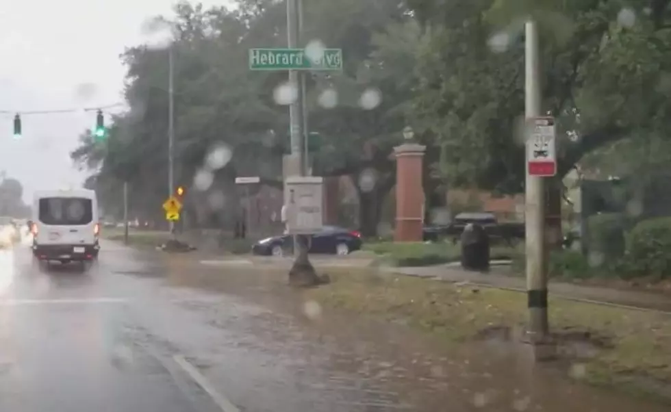
The Storm Prediction Center in Norman Oklahoma does not forecast any significant severe weather event for the area tomorrow. Rainfall potential of 1"-2" is not out of the question with this particular weather system. If the timing of the current forecast models hold light to moderate rain could begin in the western sections of Acadiana by sunrise Thursday morning and spread eastward across the state during the day.
More From 97.3 The Dawg
