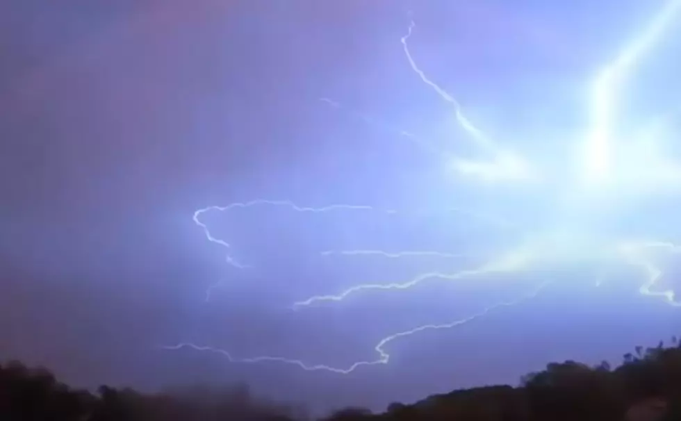
Lafayette Weather – Rain Moves in Late Tonight And Tomorrow
It has been a typical summer like weekend across Acadiana. The only exception has been the lack of air mass or popcorn thundershowers we normally see this time of year. We finally broke into the 90's after a respite of over 250 days and it looks like the heat is here for a while. What about the rain?
While the floods of two weeks ago are still fresh in a lot peoples memories we still could use some rain. The area has been on the borderline between normal and drought like conditions for much of the year. In fact we had one of the wettest month's of May on record but only received rainfall on four different days. That means the rainfall totals were where we might need them to be, the rainfall came to fast and too furious to really be as beneficial as we might want.
The forecast for today isn't that much different than the weekend weather we've already experienced. Maybe a better chance of an afternoon thunderstorm. Tomorrow's forecast is decidedly different as a short wave of energy pushing through Texas will reach Acadiana. This system will provide the lift to a somewhat unstable atmosphere and rain chances will increase dramatically.
At this time the forecast for severe weather in the area is slight. There could be some very heavy thunderstorms with high winds and maybe even some hail but right now the severe threat is not that great. After Tuesday it will be a return to typical June weather with partly cloudy skies and a chance of an afternoon thunderstorm.
More From 97.3 The Dawg

