Lafayette Weather – Scattered Rain Today, Cooler By Mid-Week
T-shirts and shorts, that exactly the outfit I like to wear when I go looking at Christmas lights. I am strange because I actually do like warm weather. However, it's hard to get into the Christmas spirit when you're sweating on the way to the car with your arms full of gifts. Daniel Phillips and Dave Baker in the Storm Team 3 Weather Lab say that is about to change.
For the past week or so a strong high pressure system has been in control of Acadiana's weather. It's felt more like spring that almost winter. An approaching cold front will bring an end to the dry dusty cough you've been experiencing and it will also bring about some much needed rainfall for the area.
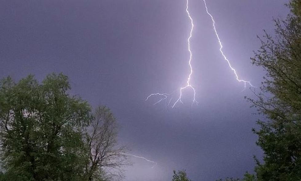
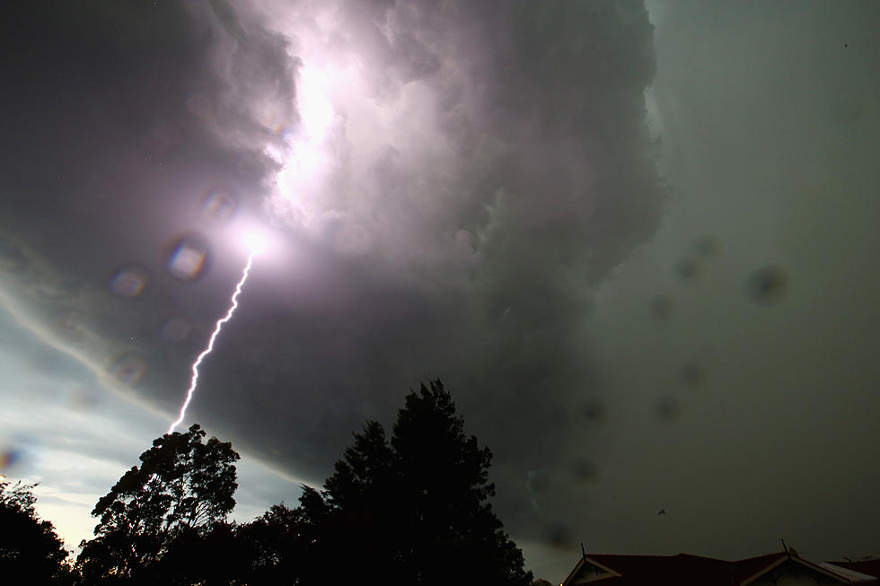
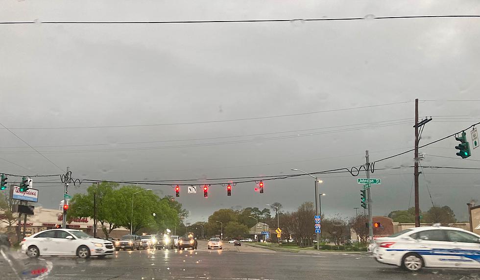
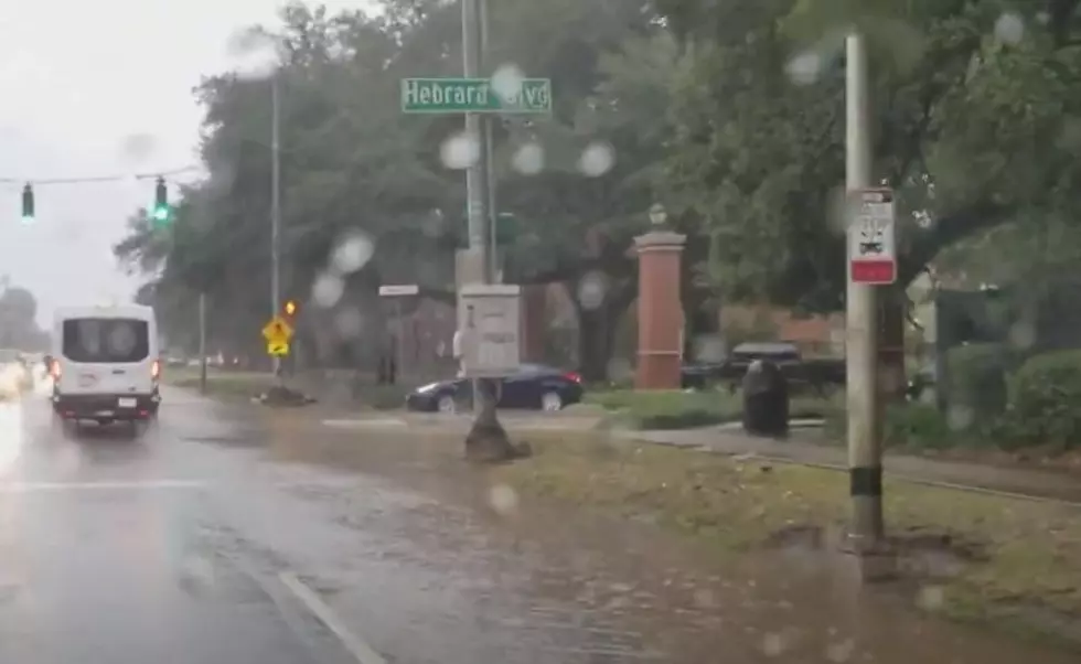
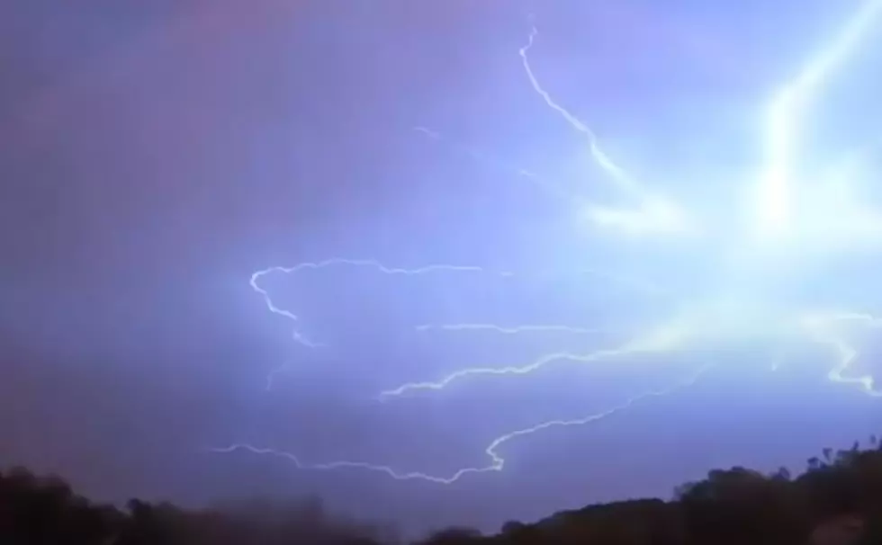
Rain could begin as early as daybreak in western sections of the state. Most of Acadiana won't see showers until lunchtime. Most of the rain will be east of the Atchafalaya Basin by nightfall today. There could be a rumble of thunder with passing line of showers today but any thunderstorm activity should be relatively weak.
Tuesday and Wednesday should bring the area cooler temperatures under partly cloudy skies. The next real threat of rain will come on Friday as the weather pattern for south Louisiana starts to get more active and seasonable. The current long range forecast shows a parade of cold fronts lining up to pass through the area every couple of days or so between now and the beginning of the new year.
More From 97.3 The Dawg

