Lafayette Weather – Stormy Sunday, Colder Monday
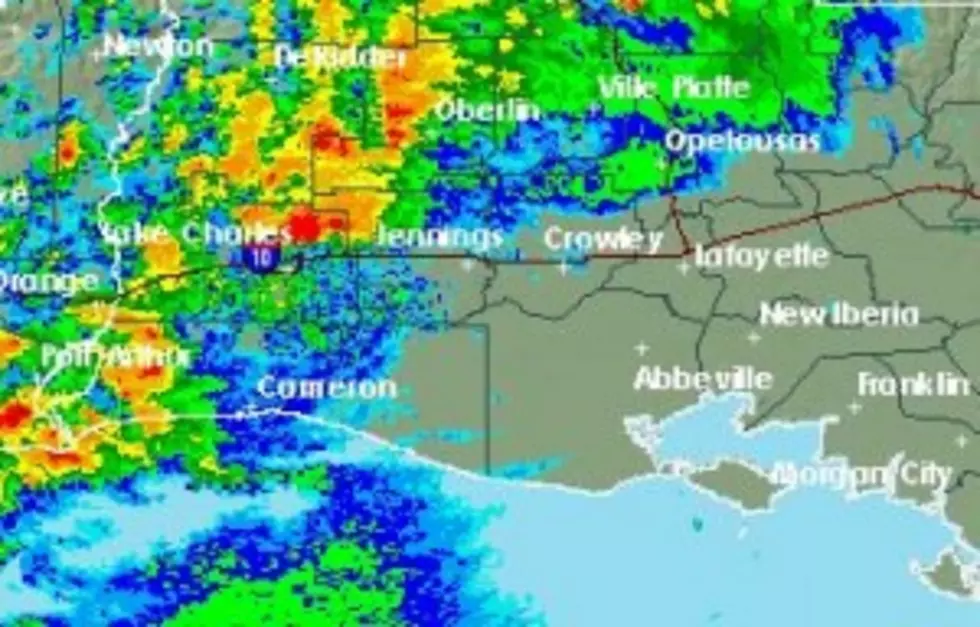
An approaching cold front is kicking up showers and thunderstorms to the north and west of Acadiana this morning. By the middle of the day most of the showers and thunderstorms should be moving through the area bringing gusty winds, some heavy downpours and a little thunder and lightning is possible too.
Sunday morning dawned considerably milder than yesterday did. Temperatures this afternoon ahead of the front and the rain should get into the lower 70's. By the time the front passes the gusty southerly breezes will become harsh northerly winds and the temperature will begin to steadily fall. If the current forecast models have the timing right you should notice the cooler temperatures invading the area after 6pm tonight.
The morning low temperature for Monday will be in the middle 40's with a slight risk of a leftover shower or thunderstorm.The forecast for the week will be similar to the week just past. Tuesday will be sunny and cool with a chance of rain returning for next weekend with the approach of yet another frontal system.
More From 97.3 The Dawg