Lafayette Weather – Waiting For The Warm Up
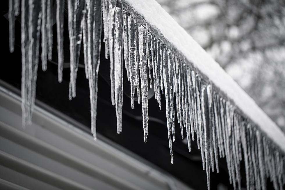
It didn't happen until late in the day Tuesday but eventually the promised arrival of significant sleet and ice did move through Acadiana. A look at the current radar scan this morning will show that colder drier air has pushed the majority of the precipitation off shore. Temperatures this morning across Acadiana are certainly cold enough to insure that whatever fell yesterday and last night is still there this morning.
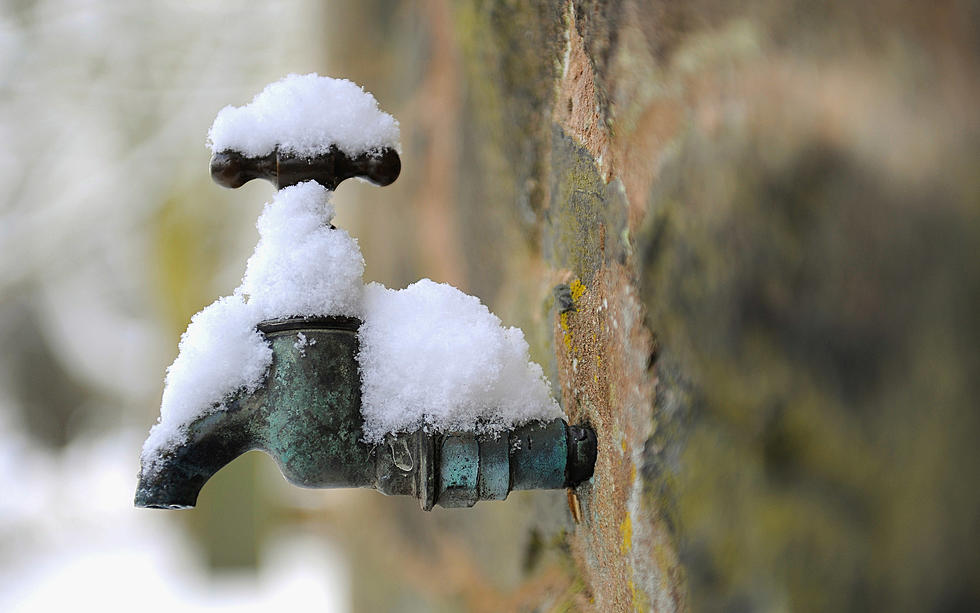
The good news is frozen precipitation is now a thing of the past, at least for the next few days. Warmer temperatures are in fact in the forecast. By Saturday afternoon heavy coats and scarves will be replaced with t-shirts and walking shorts but first things first, when will the ice be melted off the roads so that normal life in Acadiana can resume.
Today's projected high temperature of 37 degrees and the expected sunshine will go a long way in helping the thawing process. While most forecasters don't think the ambient air temperature will top the freezing mark until about noon, almost all forecasters agree that the temperature will in fact rise above 32 degrees sometime today. The process could be expedited if the overnight cloud cover yields to expected sunshine.
During the nighttime hours crews from DOTD and the Louisiana National Guard worked to sand and salt many of the roadways, especially bridges in the area. While these actions might improved travel in the area it is still not recommended until much later in the day.
Many roads, highways and bridges remained closed this morning and most schools and universities remained closed at least until tomorrow (Thursday) when weather and road conditions will be much closer to normal than they will be today.
More From 97.3 The Dawg