
Lafayette Weather – Wet Wednesday
Flashes of lightning and the rumble of thunder have been a part of the early morning ambiance this Wednesday in the Lafayette area. A storm complex associated with an upper level disturbance is pushing further south and east into the heart of Acadiana this morning. This band of energy is associated with severe weather watches and warnings that affected parts of Texas, Arkansas and Northwest Louisiana yesterday.
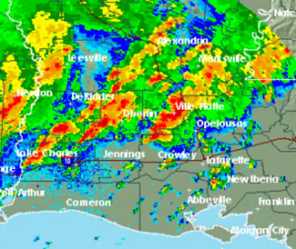
The current radar scan shows areas of light to moderate rain with embedded thundershowers pushing east across much of the area. The general flow of the entire area of energy is to the south and east. This will mean a wet wait at the bus stop for many school children and a wet commute into the office for parents.
The Storms Prediction Center has forecast a minimal probability of any of these thunderstorms reaching severe limits during the day today. There still could be heavy downpours and gusty winds associated with some of the thunderstorm cells.
From KATC TV's Dave Baker the forecast calls for a better than average chance of rain for the rest of the early morning hours and into the day on Wednesday. By Thursday some sunshine will return and the outlook for the holiday weekend is not that bad for those who have outdoor plans.
More From 97.3 The Dawg


