Lafayette Weather – When Will The Rain Stop?
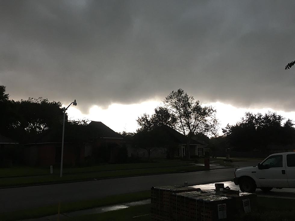
Acadiana has had it feast or famine when it comes to precipitation this Spring and early Summer. The area has gone weeks at a time without any significant rainfall only to have the monthly average attained in a 48 hour time span. Yesterday was one of those days where the rain held off for much of the day and then late in the afternoon the faucets were turned on and the buckets overflowed.
The rainfall was so heavy that officials at Evangeline Downs cancelled the Thursday night card after only one race. There were numerous other events that were moved indoors, postponed or cancelled all together. With a busy weekend in front of us, what can we expect for the next couple of days?
The good news is the rain chances are going down for the weekend, the bad news is we still have a significant threat of heavy rain in the forecast for today. An abundance of tropical moisture is being lifted out of the Gulf of Mexico by a high pressure system that is centered to the east of the area. The clockwise flow around the high pressure will continue to funnel moisture northward across Acadiana for most of Friday.
The current radar scan from the National Weather Service in Lake Charles shows this giant plume of moisture in the form of light to moderate rain pushing on shore across coastal Acadiana. While most forecast models are suggesting the possibility of at least another inch or two of rain, some locally heavy thunderstorms and downpours could produce rainfall totals in excess of three inches.
On Saturday this system will slowly start to migrate westward. This will turn down the flow of moisture into the area and drop the rain chances to slightly above average for this time of year. Sunday rain chance should be reduced to about 20%. Looking forward to next week a more typical Summer weather pattern should return with only a slight risk of afternoon and early evening showers or thunderstorms.
More From 97.3 The Dawg