Pre-Season Tropical Depression Could Form Later Today
A sub tropical low just off the Carolina coast continues to show signs of development. This broad area of thunderstorms and heavy rainfall has been slowly moving up the Florida coast toward the Carolinas since early this week. The system has started to show signs of a closed circulation and could be declared a tropical cyclone by later this morning or this afternoon.
The National Hurricane Center lists the possibility of further strengthening of this system at 70%. Depending upon the timing of when the system actually crosses the shoreline this could become the first tropical depression of the 2015 Atlantic Basin Hurricane Season.
The season doesn't officially begin until June 1 but to have a storm form in the weeks prior to the official start of the season is not that unusual. Should this system gain enough strength to be declared a tropical storm. It would be given the name Ana.
The current tropical forecast models indicate that the system will reach at least tropical depression status. The track of the system shows a landfall along the coast of either North or South Carolina. The system would then track to the north and northeast bringing heavy rains and thunderstorms to the eastern seaboard over the next several days.
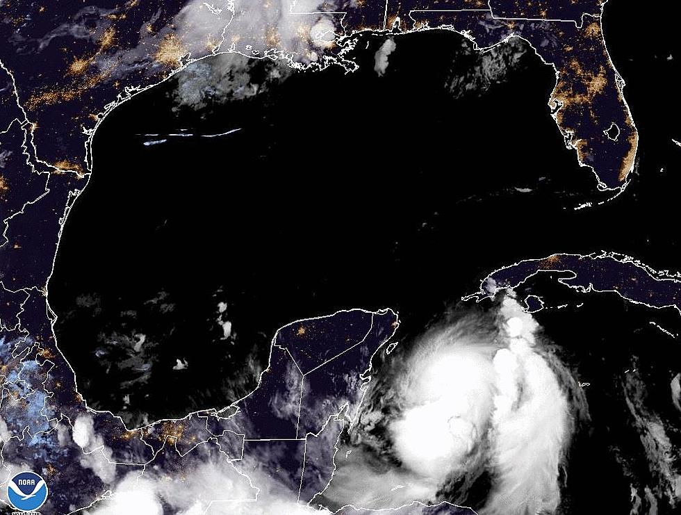
The tropical outlook for the Gulf of Mexico remains quiet. In fact, the preseason forecast for the tropical season says that coastal residents should expect a below average tropical season.
More From 97.3 The Dawg


