

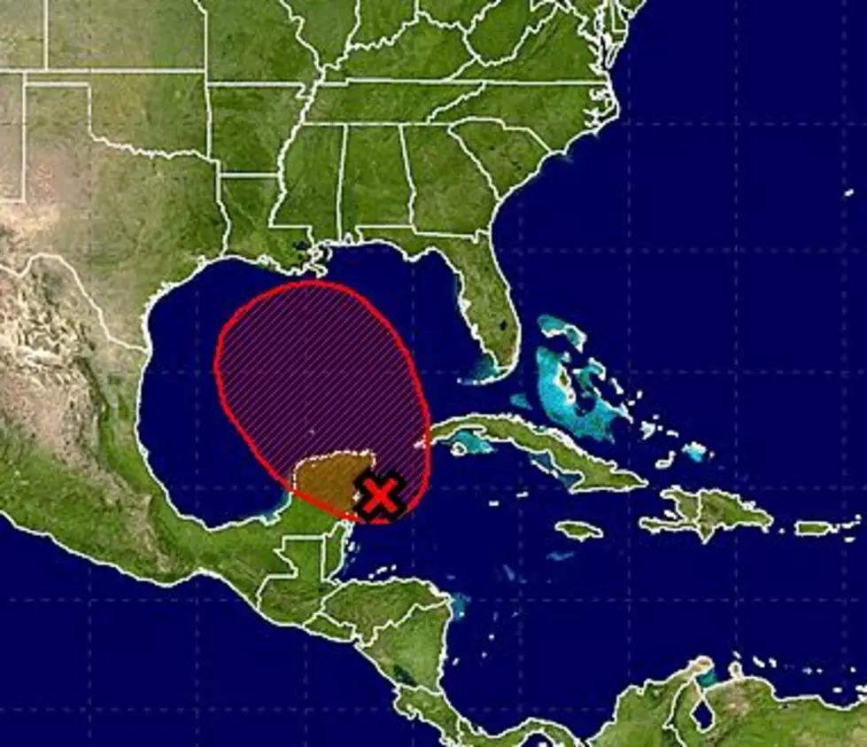
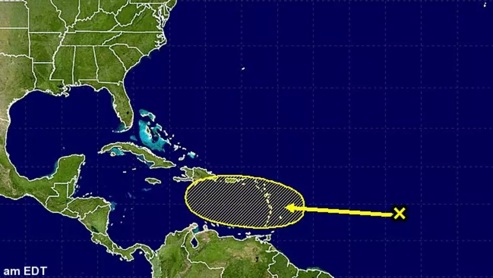
Tropical Outlook – Hot Spot Over The Yucatan
We are basically one month into the 2013 Hurricane season and it's been pretty quiet. Two named storms, Andrea and Barry, have done little damage but reminded us to be on our toes because these systems can spin up fast.
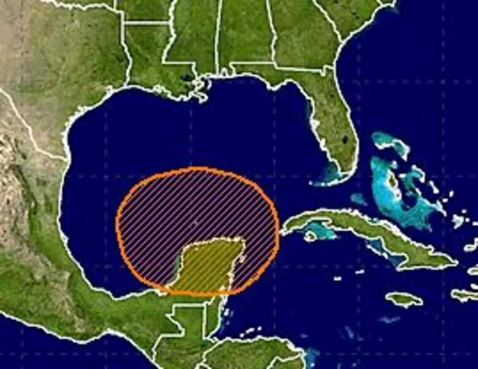
What does it take to turn a mass of thunderstorms into a hurricane? The big ingredients are warm water, also known as the Gulf of Mexico and a surface low pressure system. Could there be a situation developing over the Yucatan Peninsula that might spin up into a named storm.
The Hurricane Center is watching that area of disturbed weather but the chances of something developing over the next few days is very small. In addition to the warm water and surface low pressure system other conditions need to be favorable for a storm to really gain strength rapidly. Those conditions are not present now in the Bay of Campeche but they are expected to get a little more conducive for development over the next few days.
The bottom line is this. We have made you aware but hopefully not alarmed. Could there be an issue in the Gulf? Sure. Will there be an issue in the Gulf? Not anytime soon, at least the forecast models aren't showing any major development near term. On down the road we could be watching with a more concerned attitude but it looks like we won't need the hurricane kit at least through the weekend.
More From 97.3 The Dawg


![Tropical Storm Warning Posted For A Portion Of Louisiana’s Coast [Updated]](http://townsquare.media/site/33/files/2017/06/Tropics-June-201.jpg?w=980&q=75)
![TD 9 Is Now Tropical Storm Hermine [Updated]](http://townsquare.media/site/33/files/2016/08/Tropics-Aug-31.jpg?w=980&q=75)