Tropical Season Nearing Peak
The unofficial peak of the tropical cyclone season in the Atlantic basin is September 10. There is another little spike in activity in early October but for the most part the next six weeks are the busiest when it comes to hurricanes, tropical storms and tropical depressions.
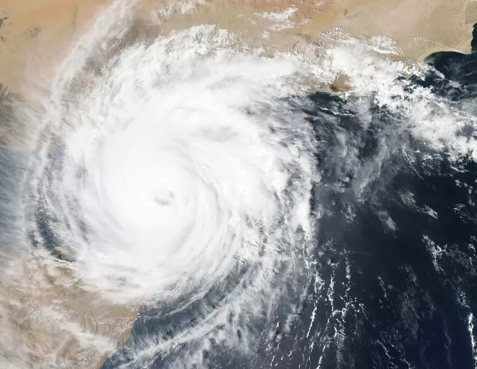
If you look at a tropical map of the Atlantic basin you can see the sun warmed waters of the tropics are right on schedule when it comes to producing the potential for hurricanes. Currently in the tropics forecasters are watching three different areas.
The system with the most potential for development is Tropical Depression Number 9. This system could become Tropical storm Isaac over the next day or so. The forecast track of the storm is in general agreement over the next three days. This would bring the system near Puerto Rico or the Northern Carribbean by the end of the week. The long range path of what could become Isaac is uncertain but the general consensus is leaning toward a curve to the right, hopefully missing the U.S. mainland all together.
Closer to home in the Gulf of Mexico's Bay of Campeche there is another area of disturbed weather. Forecast models for this system are all over the map. The good news is conditions over that part of the gulf are not conducive for any rapid development . Still any system with a spin this close to home bears watching.
There is also another system in the far eastern Atlantic that shows some signs of developing over the next week to ten days. Currently forecasters are thinking that this system will stay out to sea and not affect any major land masses. That forecast, like all tropical forecasts, is subject to change.
More From 97.3 The Dawg


![Empty Gallon of Milk Could Come In Handy If Electricity Goes Out [PHOTO]](http://townsquare.media/site/34/files/2021/08/attachment-GettyImages-1257995328.jpg?w=980&q=75)