Tropical Storm Joaquin Forms In The Atlantic
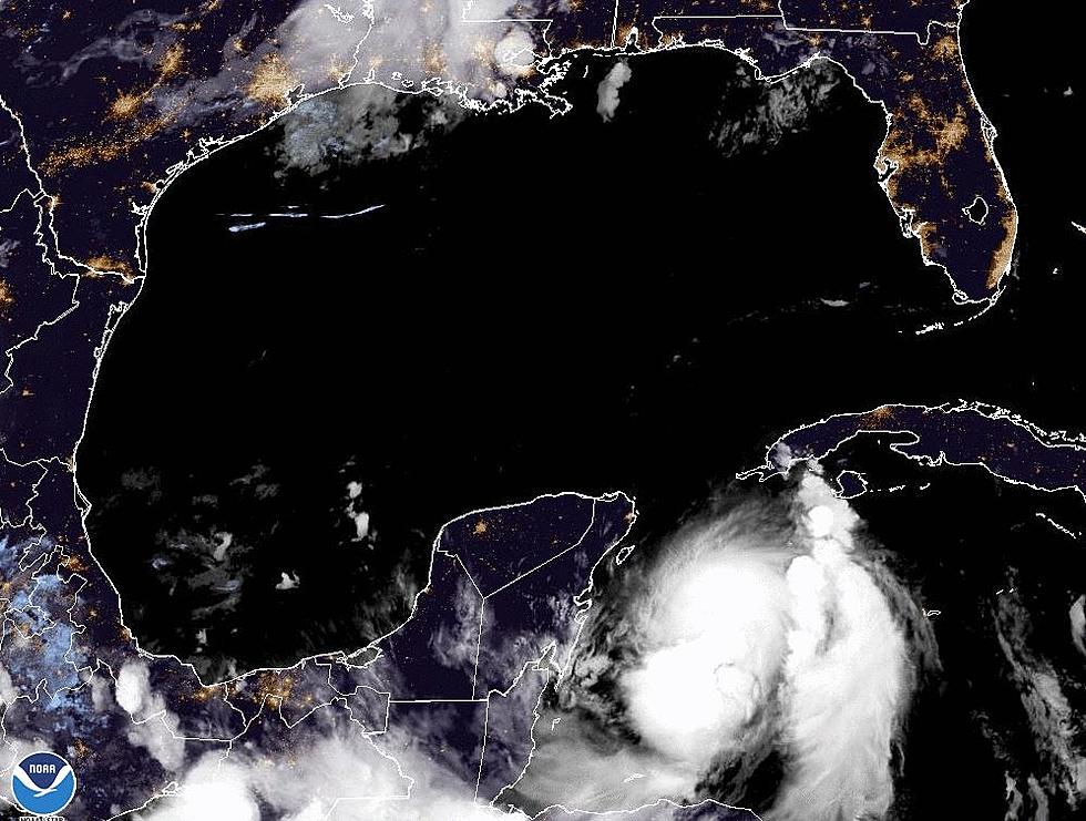
While a good number of us in South Louisiana were keeping our eyes on an area of disturbed weather that was moving across the central Gulf of Mexico over the past few days. Another tropical system in the Atlantic strengthened enough to become Tropical Storm Joaquin, the tenth named storm of the 2015 Hurricane Season.
The system became organized enough and strong enough to earn a name late yesterday and forecasters are suggesting that it could impact the eastern seaboard of the United States. The most likely place for the system to impact land would be the Outer Banks of North Carolina or coastal New Jersey.
Currently Joaquin is located just east of the Bahamas and is expected to move westward over the next few days. The system will then be guided to the north by an approaching trough and this should send Joaquin on a path that could brush the Carolina coast over the weekend.
The long range and less reliable forecast scenarios show the system remaining a tropical storm as it continues to move to the north over the coming weekend. If the forecast track stays true Joaquin could be a player in the weather forecast of the big northeastern cities by as early as Saturday.
More From 97.3 The Dawg


