Tropical Update – Disturbed Weather In The Gulf And Carribean This Morning
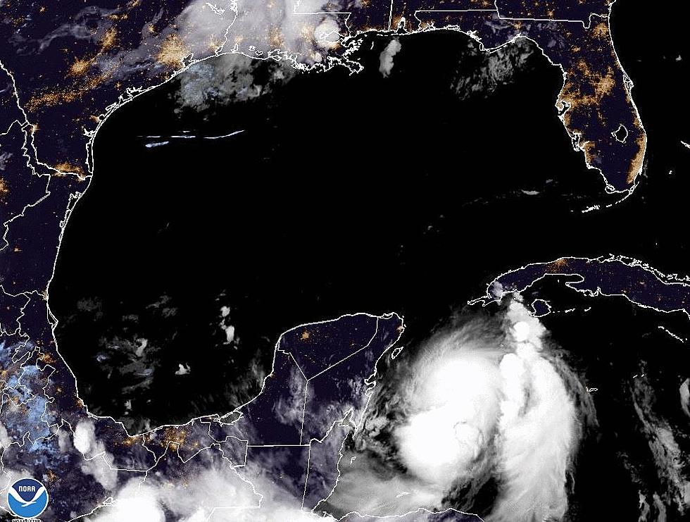
When the National Hurricane Center starts to monitor clusters of thunderstorms in the Gulf of Mexico and the Caribbean Sea we really start to pay attention. Those two bodies of water are literal hot spots when it comes to tropical storm formation. The high sea surface temperature provides an exceptional fuel source for growing tropical systems. This morning both The Gulf and the Caribbean Sea have tropical waves that the Hurricane Center has been monitoring.
The system in the Gulf of Mexico was centered just of the Louisiana coastline yesterday. It has since moved quickly toward the west and southwest and it appears as if it will push onshore around Brownsville Texas in the next few days. The current forecast from the Hurricane Center does not show much potential for further development of this system.
The second tropical wave has been fighting adverse conditions ever since it rolled off the coast of Africa earlier this week. The system has entered the eastern Caribbean sea and is expected to continue a westward motion across that body of water. Conditions are not favorable for rapid development of this system either. In fact , forecasters are only giving this storm complex a 20% chance of development over the next 5 days. By that time the system should be moving on shore in Central America or Southern Mexico.
Hurricane Cristobal is currently on a fast track to the North Atlantic and should not be a problem for any significant land mass over the next few days.
More From 97.3 The Dawg


