Tropical Update -Tropical Storm Cristobal Forms
The National Hurricane Center had suggested that sometime over the weekend the tropical wave they had been watching all of last week would be reclassified as either a tropical depression or tropical storm.
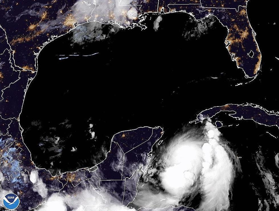
Late yesterday afternoon the system was classified as a tropical depression and just shortly after 5am Louisiana time the system was reevaluated and given the name Cristobal. This makes the third named storm of the 2014 Atlantic Hurricane Season.
The center of Cristobal is currently located near the southeastern Bahamas. Tropical Storm warnings have been posted for much of the southern and central Bahamas for today. The northern Bahamas are expected to be included in tropical storm watches and warnings later in the day.
The reliable forecast models suggest that Cristobal's track over the next few days will be generally northwest. This track will carry the system over much of the Bahama Island chain. A jog to the north is expected later in the forecast period and this should push the system away from the United States east coast.
Forecasters do think that Cristobal will strengthen into a hurricane later in the forecast period. As of right now the greatest threat from the system will be over the Bahamas. The east coast of the United States from the Carolinas down to Florida can expect some increased wave action and possibly some rip currents.
More From 97.3 The Dawg


