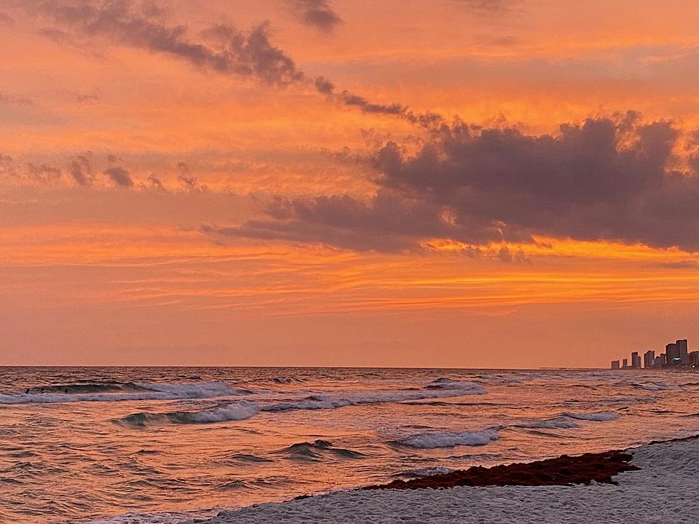
Tropical Wave Forms In The Gulf Of Mexico
It's late September and we are on the downside of the 2016 Atlantic Hurricane Season. We are still very near the peak of the season and by now the tropical activity should begin to slow down. Mother Nature has not gotten that memo.
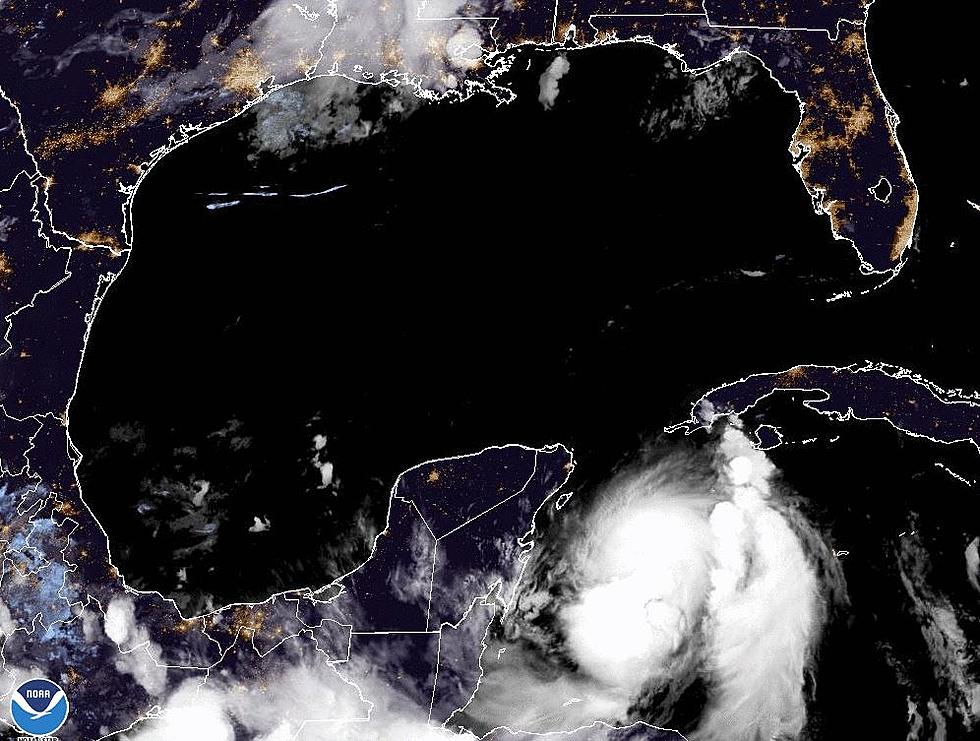
There are currently three tropical entities in the Atlantic basin. There is a tropical wave that has formed in the Bay of Campeche in the extreme southwestern part of the Gulf of Mexico. Forecasters with the National Hurricane Center give that system a less than 10% chance of strengthening. However, any system over the very warm waters of the Gulf of Mexico needs to be monitored until it goes away.
A larger threat to become a named storm is slowly pushing toward the Leeward Islands this morning. Forecasters with the National Hurricane Center give this system a 90% probability to strengthen into at least a tropical depression within the next 5 days. This area of disturbed weather has been given the moniker Invest 97L.
Tropical forecast models are in significant conflict over the next five days as to the track of this system. Most of the models agree that the system will move into the eastern Caribbean Sea. Then some of the models predict an abrupt turn to the north between Hispaniola and Cuba while still others keep the system on a westward track that would eventually move the system into position to enter the Gulf of Mexico. This is still very much a wait and see forecast.
The third tropical entity is a tropical wave in the north central Atlantic. This system is expected to merge with a cold front over the open water and then move eastward toward Europe.
More From 97.3 The Dawg


