Tropics Continue To Be Very Active
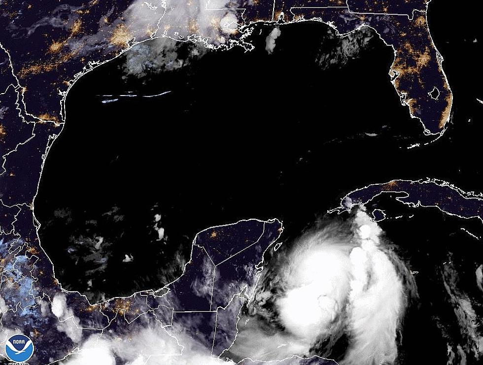
In the near term, a weak area of low pressure spinning in the southwestern Gulf of Mexico is expected to move inland over Mexico later today. That should basically quash any opportunity for this system to strengthen and cause any problems for coastal Louisiana over the next several days.
There could be some flooding rains over portions of Mexico or South Texas as this system moves inland and eventually dissipates over the next few days. That is the good news. The not so good news is there are not one but two vigorous tropical waves in the lower latitudes of the tropical Atlantic and they are both expected to strengthen.
The first disturbance is about halfway between the Lesser Antilles and the Cape Verde Islands. If you didn't do well in geography that's basically the middle of the Atlantic Ocean. Forecasters believe this system will pull to the north and remain out to sea. The National Hurricane Center gives this system a 60% probability to strengthen over the next five days.
The second disturbance is closer to the African coast and is almost due south of the Cape Verde Islands by about 400 miles. The forecast track for this system is a more westerly track but at the current time tropical models are curling this system to the north late in the forecast period. If that forecast holds true this system should not affect any major land mass as well. The Hurricane Center gives this system a 70% probability of getting stronger.
Both of these systems have the potential to become named storms. Whichever one makes it to tropical storm status first will be called Ida. The next name on the Hurricane names list is Joaquin. Let's hope that if we do get named storms that both of these tropical entities will remain well out to sea and keep everyone out of harms way.
More From 97.3 The Dawg


