Lafayette Weather – Rain Ending Later This Morning
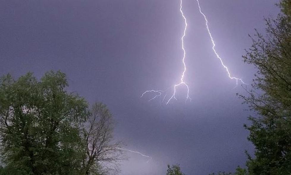
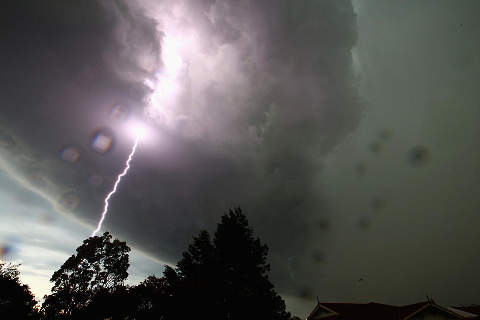
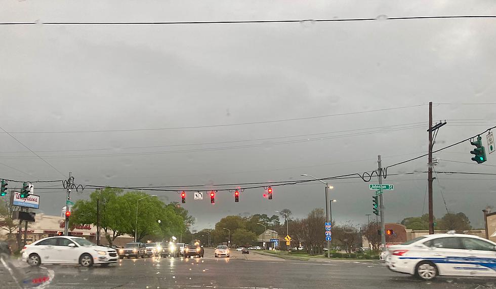
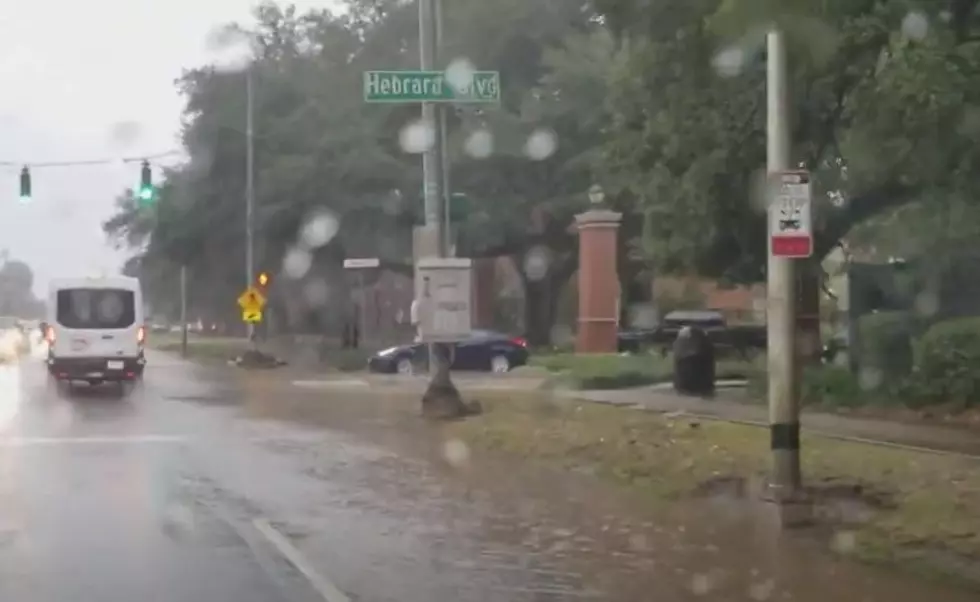
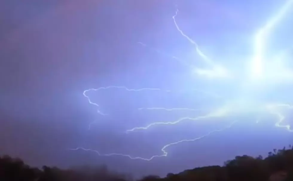
Lafayette's weather forecast may have suffered a bit of jet lag because of the change to daylight savings time over the weekend. A frontal system that was forecast to move through the area Sunday afternoon and evening slowed down just a bit and has pushed the exit time of the showers and thunderstorms to later today.
As of 2am radar showed a line of thundershowers with embedded heavy rain from extending from Mississippi southwestward to between Baton Rouge and Crowley. The individual storms in this area of rain were moving to the northeast while the entire system was pushing to the east.
There was another area of rain forming behind this main line that was affecting Jeff Davis, Cameron, and Vermilion Parishes. You can see the latest radar scan right here.
The forecast is still calling for the rain to move out of the area by mid morning and sunny conditions could return by early afternoon. Temperatures will also be a bit cooler following the frontal passage.
Once the rainfall has moved through the area Acadiana residents can expect sunny skies for the work week and conditions should be wonderful for Patty in the Park on Saturday.
More From 97.3 The Dawg

