Lafayette Weather – Winter Storm Watch In Effect
Brace yourself Acadiana, Old Man Winter is back for an encore. If the current forecast models hold true everyone who was whining, "I wish it would snow here" may soon get their whine come true. A strong cold front is current pushing through the state and should move through the heart of Acadiana sometime today.
You will know the cold front has come through because the winds will suddenly become very brisk and very cold. The temperature will also begin to plunge from the upper 50's through the 40's by the time school lets out this afternoon. There is a slight chance of rain associated with the cold front as it pushes through the area but the real problems won't begin until early Tuesday morning.
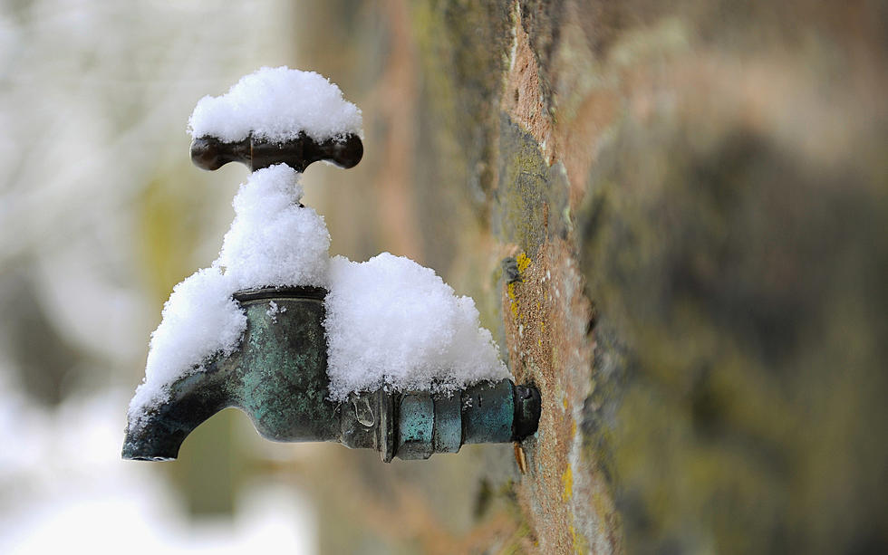
Many of the reliable forecast models suggest that the cold front will stall just off the coast of Louisiana. This will allow moisture from the Gulf of Mexico to ride over the front and mix with the subfreezing temperatures on shore.
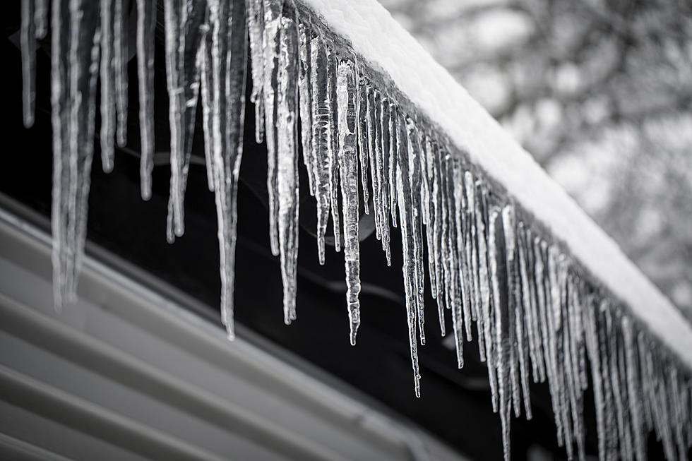
This could mean another bout of rain, sleet, snow and ice from the early hours of Tuesday to the early hours of Wednesday. The current thinking is the further north of I-10 you are the better your chances of snow. From I-10 to the coast you can expect more of a wintry mix of ice, freezing rain and eventually snow.
Based on current forecast the potential accumulations with this system are 1/4 of an inch of ice and up to 2 inches of snow. Local areas might see significantly more, while some parts of Acadiana won't see any frozen precipitation.
There are still plenty of variables in the forecast so we suggest you watch our website and facebook page for the latest updates. We will provide the latest information from DOTD, State Police and The Storm Team 3 Weather Lab.
More From 97.3 The Dawg