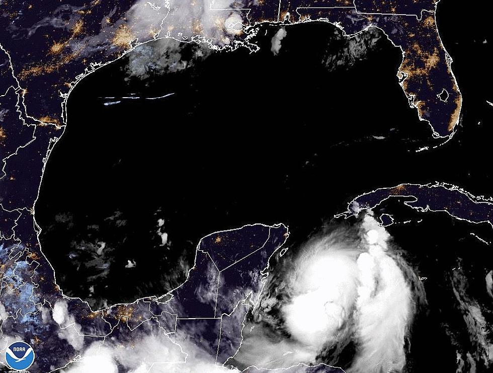
An area of concern has captured the attention of tropical forecasters as they monitor an area of disturbed weather in the Gulf of Mexico south of Louisiana's coastline.
The National Hurricane Center is monitoring an area of disturbed weather south of Louisiana that could become the next named tropical system in the Gulf of Mexico.
Development of a tropical weather system in the Gulf of Mexico off the Louisiana coastline is now a more likely according to the National Hurricane Center.
Hurricane forecasters are monitoring three areas for tropical development this morning. One of those areas is in the Caribbean Sea very near where Hurricane Ian formed earlier this year.
Potential tropical trouble in the form of an area of disturbed weather appears to be taking a path that would bring it into the Gulf of Mexico within the next five days.
Louisiana can expect an uptick in rain chances as a low-pressure system with the potential for tropical development slides to the south and west of the state.