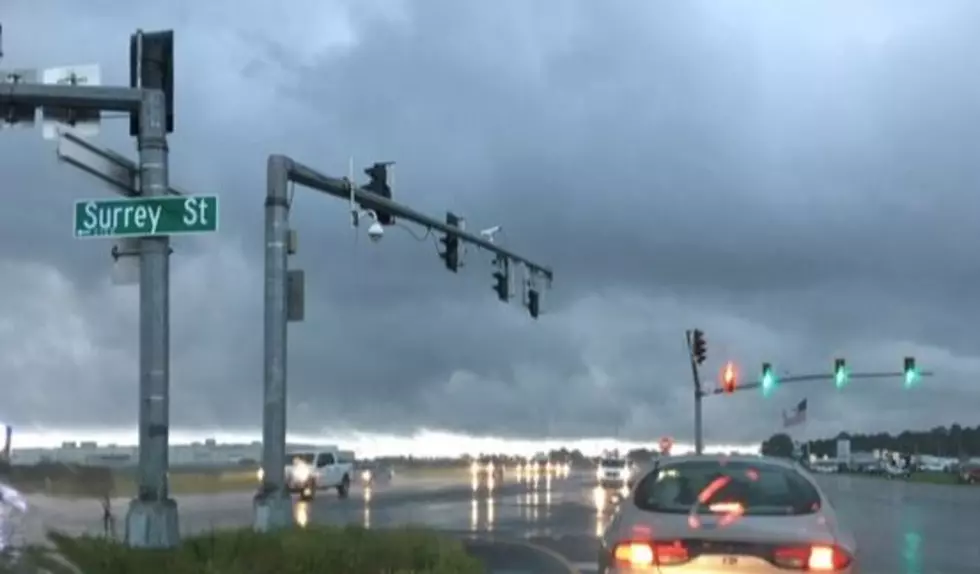

(KMDL-FM) If you mention the word "rain" to just about anyone in Louisiana, they will get a hopeful expression on their faces. The state is very dry- so dry that almost half the parishes have burn bans in place. But while you might think rain would be the cure for what's ailing us, too much rain right now might be deadly for some in Louisiana.

The Weather Prediction Center is suggesting that Thursday could be a particularly trying day for Louisiana motorists and residents who live in low-lying areas. The WPC has placed almost all of Louisiana at risk for an Excessive Rainfall Event.
What Parts of Louisiana Are At Risk For Flooding Rains on Thursday?
The areas of the state most likely to receive these torrential downpours are in the southeastern portion of the state. The Weather Prediction Center has the cities of Lafayette, New Iberia, Baton Rouge, Morgan City, and New Orleans in the "slight" risk of excessive rainfall.

The rest of the state, with the exception of the extreme northwestern corner, has been included in the marginal risk zone for excessive rain from early Thursday morning through the early morning hours of Friday.
What Is An Excessive Rainfall Event?
An Excessive Rainfall Event is characterized by rainfall rates that exceed the drainage rates of a municipal storm drain system. Many cities in Louisiana have their drainage system designed to handle as much as two inches of rain per hour, but for only an hour or so.
We should note that most rainfall forecasts don't show expected rainfall amounts above one inch. But it's possible that the rainfall rate, how fast the rain is falling, could be tracked at several inches per hour. It's just that the rain only falls for a very short time.

Another concern with dry conditions in the area is just how hard the ground is. Try pouring a cup of water on that hard, dry ground. Instead of soaking in, it will run off quickly, and that is also a concern with the potential heavy rainfall rates in the forecast.
READ MORE: Forecast Suggests a Freeze for Mardi Gras 2027
This greater-than-normal runoff potential could put persons with homes and other interests in low-lying areas at a greater risk of flash flooding from rainfall runoff. It's something to consider.
Dirty, Clogged Storm Drains Increase Louisiana Flood Risk - How Do Yours Look?
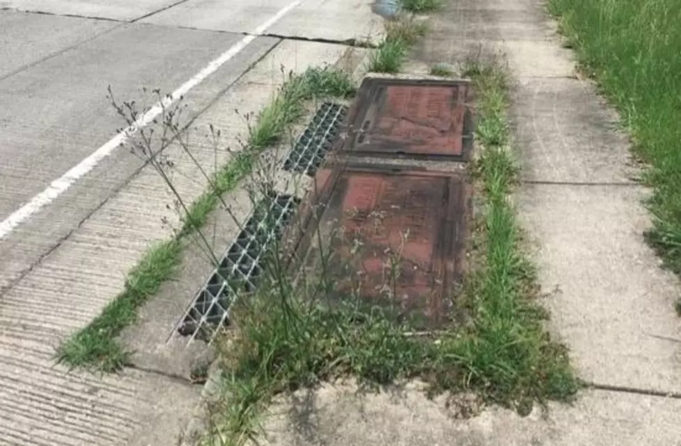
This video demonstrates how slowly water soaks into hard ground and is the perfect illustration of why there is an enhanced concern in the event we get a serious downpour. And if you add in the weeds, leaves, and dirt that most South Louisiana storm drains have around them, we could have localized issues in some of the heavier downpours.
What Is The Severe Weather Threat for Louisiana This Week?
Forecasters are not anticipating any large outbreak of severe weather as this system moves into the area in the next 24 to 36 hours, but we certainly can't rule out an isolated strong or severe storm out, but its not likely.
Looking at the long-range outlook through early September, don't expect the sound of gumbo pots to be clanging anytime soon. But the next few days, thanks to rainfall and cloud cover, will be a little cooler than what we have been experiencing.
READ MORE: Louisiana is Home to 3 of the Rainiest Cities in America
And one more thing: since a lot of places around Louisiana have not received significant rainfall in several days or weeks, the roadways could be treacherous as that first bit of rain mixes with the oil, dirt, dust, and grease that has accumulated on the road surface. Please drive carefully, and speaking of that, how many of these can you answer correctly?
10 Driving Questions Every Good Driver in Louisiana Should Be Able to Answer Correctly
Gallery Credit: Bruce Mikells
More From 97.3 The Dawg