

Louisiana’s Newest Interstate: New Study Reveals Findings on Proposed I-14
(KMDL-FM) A recent high-profile study of a proposed new interstate highway running through central Texas, Louisiana, Mississippi, Alabama, and Georgia concluded that while the roadway still has a high-priority designation, federal funding reauthorization will need to be confirmed.
The recently released report (September 2026) by the Transportation Construction Coalition emphasized that maintaining continuous planning and construction certainty would require federal highway officials to take funding steps.
I-14 in Louisiana Would Connect Several Key Locations in the State
That would be the official Interstate designation for the 1,300-mile roadway. However, its nickname, given by those who are pushing the idea, the concept, and the route, has given the project the pseudonym the "Forts to Ports" route.

The reason I-14, should it fulfill its current planned route, has been designated as the "Forts to Ports" route is that a portion of the roadway already exists in central Texas near the towns of Temple and Killeen, from Copperas Cove past Fort Cavazos to Belton.
Fort Cavazos (formerly known as Fort Hood) is one of the largest military bases in the world. The proposed route through Texas and into Louisiana would bring I-14 through Bryan/College Station to near Jasper in Texas before crossing the Sabine River into Louisiana.
READ MORE: Louisiana Gravel Road, Yes Really, Earns National Best Of Honors
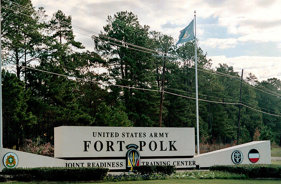
Where the proposed Interstate would cross into Louisiana is very near Fort Polk and the Joint Readiness Training Center. The route would then traverse across southern Mississippi to near Meridian, which is home to the Meridian Naval Air Station.
From there, the proposed route proceeds into Alabama near the towns of Selma and Montgomery. Montgomery is home to Maxwell-Gunter Air Force Base. From there, I-14 would then pass near Columbus, Georgia. That is home to Fort Benning, another major Army installation.
The route then passes through Macon, Georgia, and reaches the Atlantic Coast near Augusta. So you can see the "Forts and Ports" moniker would certainly apply in the naming of this roadway.
What Is the Proposed Route for I-14 Across the Gulf South?
See the detailed map of the proposed I-14 route from Texas through Louisiana, Mississippi, Alabama, and Georgia. This includes strategic military bases and links to ports along the Gulf Coast, Mississippi River, and Atlantic Coast.

Congress designated the roadway as a "high-priority" route in 2021. The newly released Transportation Construction Coalition study suggests that the construction and implementation of the roadway along the proposed route would bring badly needed economic stimulation to the mostly rural areas that it runs through.
The study also suggested that congestion on other major roadways along and near the proposed I-14 route could be eliminated by as much as 50% or more. Most of the areas where the proposed route will run are only served by two-lane roadways.
READ MORE: The Emptiest Place in Louisiana - Here's How You Can Visit
The reason for the urgency from the Transportation Construction Coalition is that current laws and rulings regarding funding for the project are due to expire in December. Hence the need for reauthorization. The reauthorization of funding would also be a signal to state governments that more planning will be needed at the state level as the project moves forward.
10 Animals Your Most Likely To Meet By Accident While Driving in Louisiana
Gallery Credit: Bruce Mikells
More From 97.3 The Dawg

![Louisiana’s Interstate 14 Project Looks to Move Forward in September [Video]](http://townsquare.media/site/33/files/2021/03/Interstate-14-Louisiana.jpg?w=980&q=75)


