Lafayette Weather – Heavy Rains Likely Over The Next Few Days
When was the last time it rained? You probably had to stop and think about that didn't you? To the best of my recollection it had to be May 12th or 13th at our house. We really have reaped the benefits of a high pressure system that has kept the storm track moving to the north of Acadiana. All of that is about to change and change in a very big way.
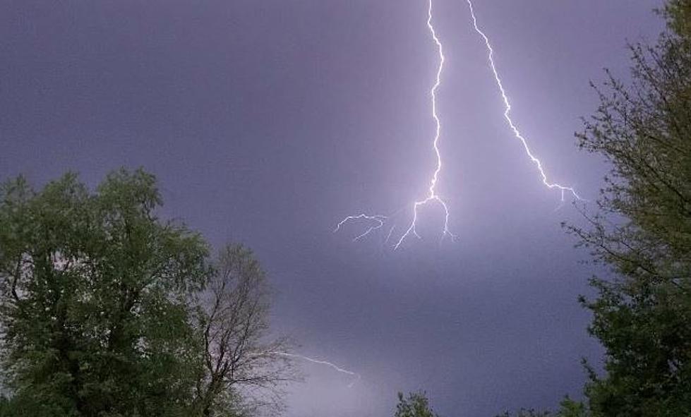
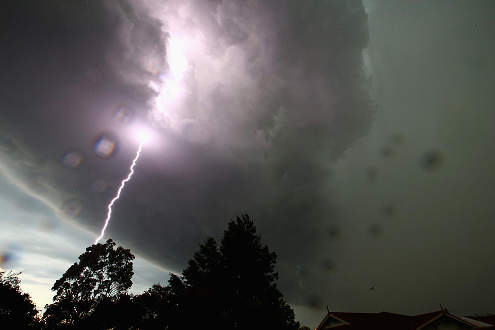
A slow moving upper level low pressure system is currently moving through central Texas this morning. This low pressure caused very heavy thunderstorms in the Houston area last night. The energy from this system is expected to fire up showers and thunderstorms across Acadiana today.
By Wednesday the system will have moved very little and according to forecasts models. The center of circulation will still be to our north and west thus allowing the system to pump copious amounts of Gulf moisture over the area. Moisture from Hurricane Amanda in the Pacific Ocean could also be riding the jet stream over Mexico and add even more moisture to the atmosphere.
The Storm Prediction Center is not currently forecasting a severe weather event for the area, however that is subject to change. Right now the thinking is the area will receive some much needed rainfall but the big question is "will we get too much too fast"?
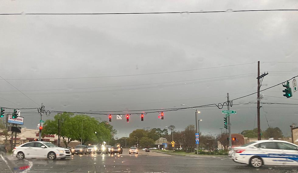
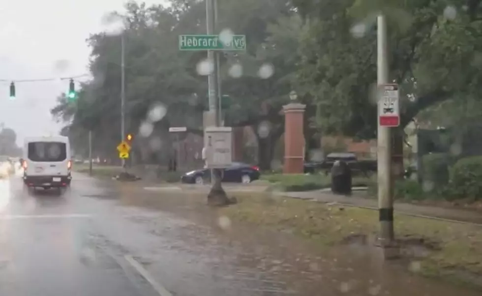
There could be a potential of some flash flooding in heavier downpours over the next few days. Most forecast models show the potential of at least 2 inches of rainfall in most areas. Some models have that amount doubled and up to 7 inches before the system finally exits the area later in the week.
More From 97.3 The Dawg
