Louisiana Severe Threat Monday – Entire State on Notice
It is spring in Louisiana and in places like the Kisatachie National Forest near Alexandria, Louisiana the azaleas are in full bloom. The crepe myrtle trees and bushes in gardens and yards from Baton Rouge to Shreveport and Monroe down to Lafayette are beginning to explode with delightful spring colors as well.
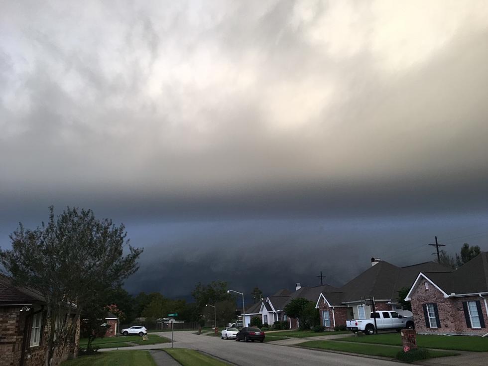
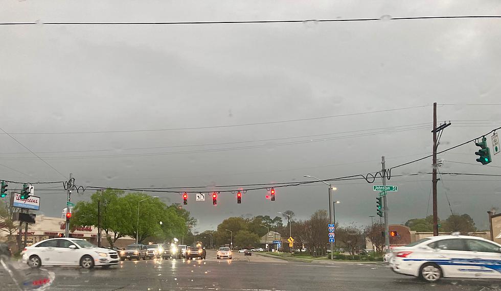
And while springtime usually brings happy and calming thoughts to our world, it can also be a catalyst for some rather chaotic and violent storms too.
All of Louisiana is at Risk For Severe Storms on Monday
The Storm Prediction Center is a division of the National Weather Service. The mission of that division is to provide timely and accurate forecasts for severe thunderstorms and tornadoes across the United States. As you might imagine, spring is a busy time for the SPC.
And, Monday, the state of Louisiana is the "bullseye" for strong to severe storms across the nation. Below is a graphic representation of where the Storm Prediction Center forecasts have place the greatest threat for weather conditions that could threaten life and property.
Why yes, that does almost look as if it was an Olan Mills family portrait of The Bayou State. Louisiana is in the heart of the greatest risk for severe storms on Monday. The risk level is slight. The surrounding and neighboring states have a risk level that is marginal. To help your understanding of what "slight" and "marginal" mean when it comes to severe storm forecasts, the National Weather Service has created this graphic.
When Are Strong Storms Most Likely in Louisiana on Monday
The answer to that question will certainly vary depending on your physical location in the state. The timing of the storms arrival and departure will be different for residents of Shreveport/Bossier City, Louisiana than it will be for New Orleans or Bogalusa, Louisiana. But we have enough information to offer you a "best guess" on when the worst of the weather might force a change of your plans for work, school pickup, or social activities on Monday.
For the northwest Louisiana, including the cities of Shreveport, Bossier City, and Ruston the majority of the rain and strong storms will push in after 10 a.m. If the timing on the forecast remains valid school pick up in the afternoon and the drive home on Monday evening might be affected the most. The National Weather Service Office in Shreveport suggests the heaviest of the showers and or storms will exit that area by 7 pm.
For cities such as Alexandria in Central Louisiana and Monroe and Tallulah in northeastern Louisiana the risk of storms will ramp up closer to noon or 1 p.m. and exit the area by 10 p.m. on Monday night.
Severe Weather Outlook for Lafayette and Lake Charles
Along Louisiana's I-10 corridor the showers and storms will rumble in a little later in the morning or perhaps into the early afternoon hours. The National Weather Service Forecast Office in Lake Charles suggests that the storm threat in southwestern Louisiana will ramp up around 1 p.m. and should exit the area by 10 p.m. in the evening.
For Baton Rouge and New Orleans you should plan on showers and storms arriving mid to late afternoon on Monday and staying for the bulk of Monday night into the wee small hours of Tuesday morning.
What Are the Primary Weather Threats to Louisiana on Monday
Forecasters are suggesting that damaging winds, tornadoes, and flooding rains are the threats forecasters believe the area will face on Monday. There could be some hail in some of the big storms too but it doesn't look as if the upper atmospheric conditions will produce too much of that.
There is a marginal risk for an excessive rain event over the entire state of Louisiana on Monday. An excessive rain event is basically when it rains harder than what most municipal drainage systems can handle. It's a scientific way of saying it could rain very hard where you are in a short period of time and if it does streets and roadways could flood or or least have areas of ponding which might make travel a bit more treacherous.
Louisiana's Forecast for the Rest of the Week and Easter
Is very nice and calm after the passage of this storm system on Monday and early Tuesday. Forecasters are calling for much calmer conditions as we move into the Easter Holiday Weekend. As of this report, Good Friday gatherings should be blessed with great weather and the prospect for a magical sunrise on Easter Morning certainly seems to be lining up as well.
12 Things You Know if You're From Louisiana
Gallery Credit: Bruce Mikells
More From 97.3 The Dawg


