Rain Chances High Again Today
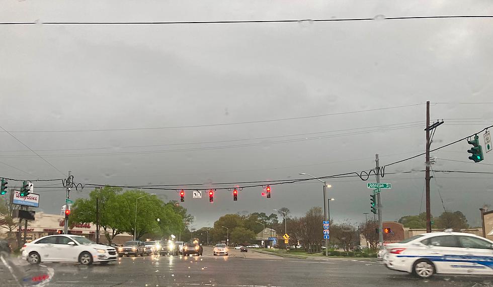
The first few days of Summer vacation for South Louisiana students have been anything but stereotypical summerlike. Sure we've had the humidity and the hot temperatures but where is all of this rain coming from?
If you want to get all geeky about it then you can blame a stalled frontal system and an upper-level low-pressure area that will be moving across the area over the next day or so. These atmospheric features, when combined with all that moisture from the Gulf of Mexico, are making Summer activities an inside sport.
Today's forecast calls for even more rain. All you have to do is take a sneak peek at the latest radar image from the National Weather Service Radar out of Lake Charles.
The outlook from the Weather Service calls for a better than average chance of showers each day through next Monday. By better than average I mean a better chance than the usual summertime pop-up showers this part of the world is famous for.
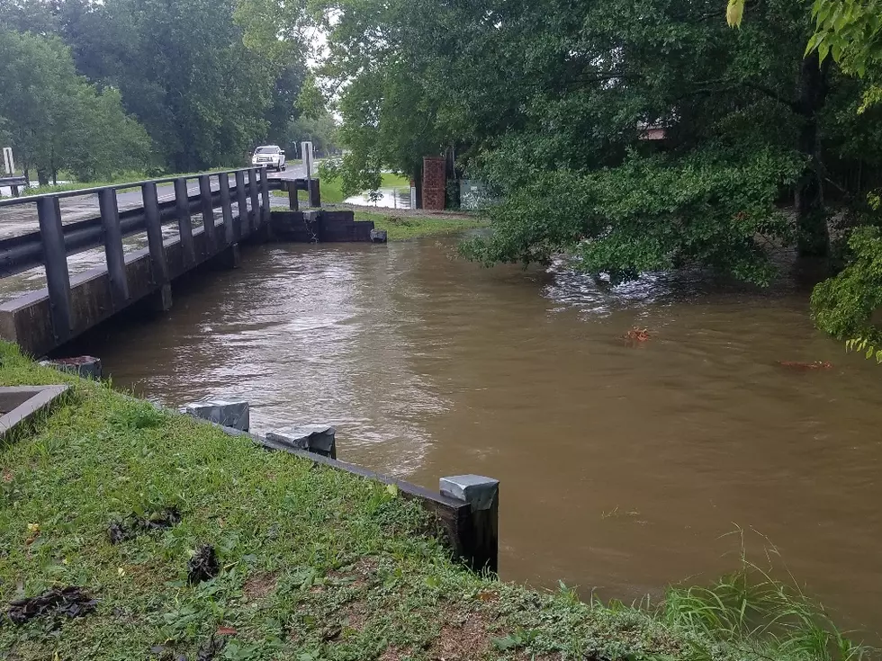
The Storm Prediction Center does not show a significant severe weather threat for the area over the next few days. However, a pretty strong downpour over an area that doesn't drain well could result in some quick rising waters. Right now forecasters aren't even expecting that to be much of an issue, at least for today.
More From 97.3 The Dawg


