Severe Weather Threat Elevated Statewide for Louisiana on Monday
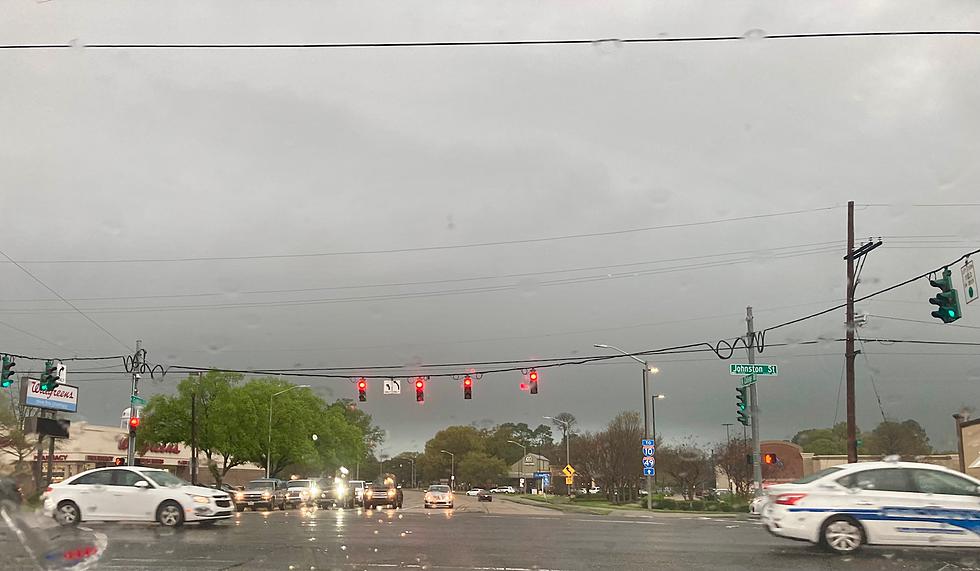
Forecasters with the National Weather Service and the Storm Prediction Center are making a dire plea for residents of the state of Louisiana, from Shreveport in the northwest to Grand Isle in the state's extreme southeast be mindful of the threat of severe storms, flooding rains, and possible tornadoes again today.
While a large portion of Louisiana was doused by pretty heavy rains on Sunday, it appears the worst of the weather might be making an appearance across Louisiana today. The area of the state that is most likely to get the worst of today's storm outbreak is along and north of I-10 to approximately Louisiana Highway 28. That's the highway that bisects the state from Leesville to Alexandria to Jonesville.
All of that area, including the cities of Baton Rouge and Lafayette are at an "enhanced risk" of severe storms. If you're unsure what "enhanced risk" means, the graphic from the National Weather Service, below, should put that into perspective.
Elsewhere across the state the risk of severe storms is not quite as great but just as real. The I-20 corridor of Louisiana will be at a slight risk of severe storms on Monday, as will the extreme coastal parishes of Louisiana. Here's how that looks on the map provided by the Storm Prediction Center.
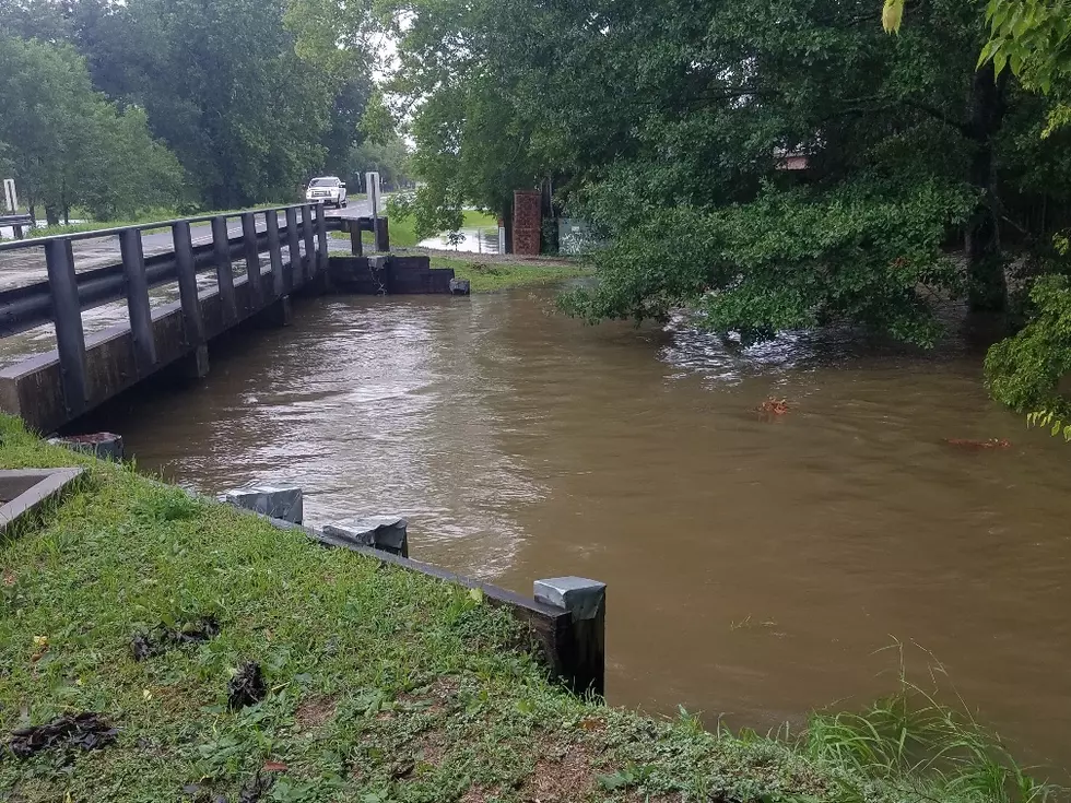
Flood watches have already been posted across much of Central Louisiana. Those watches were issued on Sunday. They could be extended further to the south if the forecast rains manifest. And there's a pretty good chance that will happen.
Will There Be Flooding in Louisiana?
The Weather Prediction Center has also placed much of Louisiana at risk for an Excessive Rain Event. An excessive rain event is when rainfall rates outpace the ability of an area to drain. This usually means street flooding during and in the hours after a downpour. The areas of Louisiana that are most likely to experience excessive rain are detailed on the map below.
As you can see the entire state is at risk of heavy downpours today. But the mid-section of Louisiana seems to be the most likely target for the deluge than say, Ruston, Monroe, or Shreveport.
When Will the Rain End Across Louisiana?
The heaviest of the rain and storms should begin to move out of Louisiana later this evening but not before dropping several inches of rain across the area. The outlook for Tuesday suggests gradual clearing by the afternoon hours with mostly sunny skies forecast for Wednesday.
The break in the rain will be very short-lived as showers and storms are forecast to move back into Louisiana during the day on Thursday with the threat of rain tapering off to a threat of showers by Friday.
Look: 10 Worst States For Teen Drivers
Gallery Credit: Kyle Matthews
More From 97.3 The Dawg


