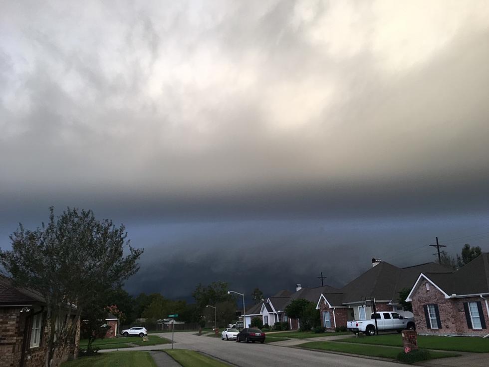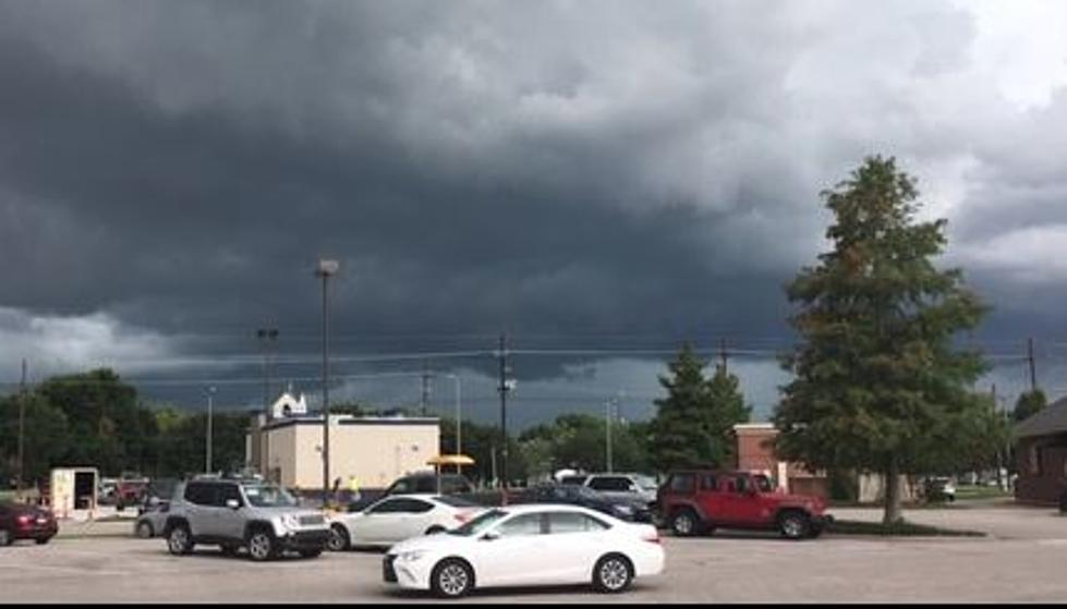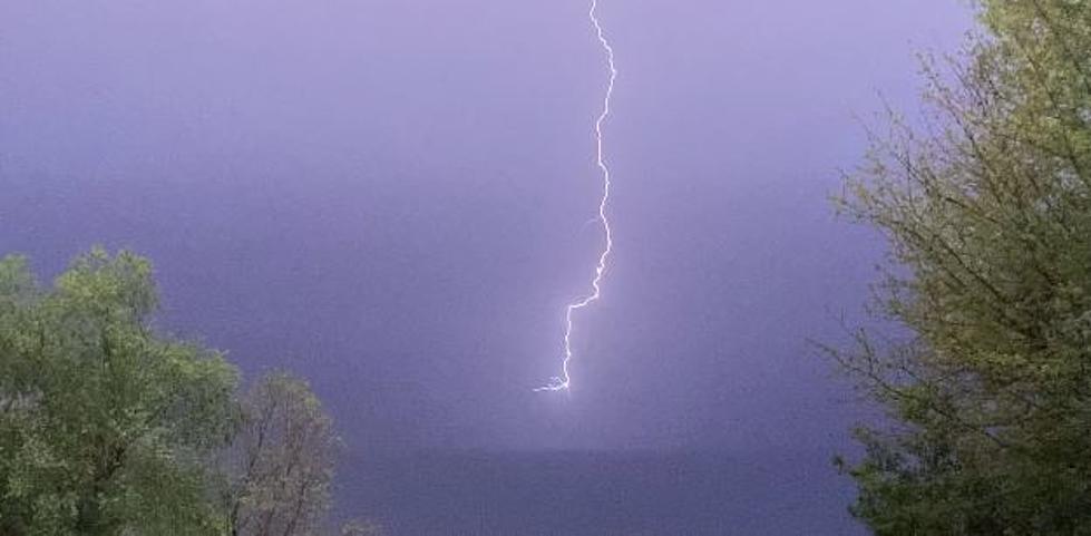
Strong Storms Sweeping into Louisiana this Morning
The first of two anticipated cold fronts is pushing its way into Louisiana this morning. Already storms associated with the approaching frontal system have triggered severe weather warnings for some of the parishes in the northwestern corner of the state. However, forecasters with the Storm Prediction Center are not categorizing this frontal passage as a severe weather event.
That was what the National Weather Service Radar was showing about 3 am this morning. As you can see the line of stronger storms, which has generated at least one severe thunderstorm warning and one tornado warning was closing in on the cities of Monroe and Alexandria at that early hour.
Forecasters with the National Weather Service Office in Lake Charles, the people who are responsible for the official forecast for Acadiana and Southwest Louisiana are telling us that showers and storms associated with this frontal system should approach the area just after sunrise.
KATC TV 3 Chief Meteorologist Rob Perillo has offered this GRAF Model Solution for when the worst of the wet weather will move into the area. Rob's prognostication suggests that Vernon, Allen, and Evangeline Parishes could start to feel the effects of the frontal system shortly after sunrise this morning.
The front and its associated showers and storms should then progress rapidly to the southeast. This would put the worst of the weather in the Lake Charles area by at least 7 am. The Lafayette area might start to experience showers and storms associated with the frontal system by 9 am.
Behind the front conditions should improve rapidly. Conditions will be a bit breezy and significantly cooler. But by later this afternoon a few peeks of sunshine are expected and by midnight skies around the area should have cleared completely.
Now, at the top of the article, we mentioned there were two cold fronts that were supposed to pass through the area. The second cold front is actually the stronger of the two systems but it won't have much moisture in the atmosphere to work with. Therefore rain chances will be minimal late Friday as this system swings through.
Behind that front, we can expect even more gusty breezes and even cooler temperatures. Some areas of the state might actually experience a light frost by early Saturday or Sunday.
Hopefully, we will get through this weather system without any storm damage, especially since so many areas of our state are still recovering from this summer's hurricanes.
Startling Images of Hurricane Ida Aftermath
Gallery Credit: Michael Dot Scott
More From 97.3 The Dawg


