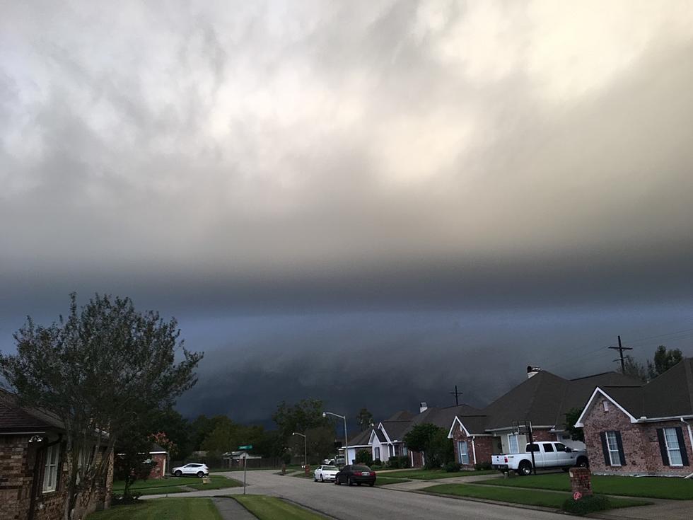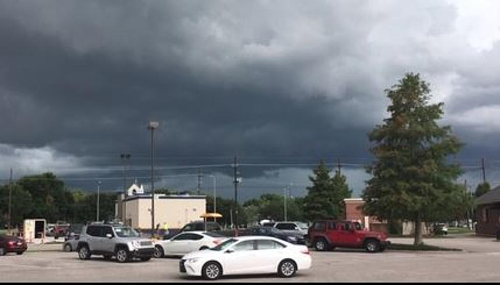
Tornado Touches Down in Baytown, Texas in Storm Cell Headed for Lafayette
BAYTOWN, Texas (KPEL News) - There are multiple reports of a tornado touching down in Baytown, Texas, as a powerful storm cell made its way across state lines and into Louisiana.
That cell, which led to several school districts announcing early closures on Tuesday out of concern for student and faculty safety, has been producing major gusts and at least one tornado so far.
According to reports, Deer Park, Texas got the worst of the storm damage. It looks like the tornado started there, went into Baytown, and then lifted. Multiple pictures and videos on social media show heavy rains and damage across the area.
"Extreme meteorologist" Reed Timmer has been tracking the storm across Texas, and posting live updates on his Facebook Page, including this 5-minute video of the damage in southeast Texas.
According to KPLC in Lake Charles, the storm is making its way into Louisiana and is pummeling several areas in the southwestern part of the state.
A Severe Thunderstorm Warning has been issued for northwestern Cameron and southwestern Calcasieu parishes until 4:45 PM. Severe storm located near Silsbee, TX is moving NE at 30 mph. A Tornado Watch also remains in effect for the area through 6:00 PM. Stay tuned to KPLC for the latest weather updates. Wind gusts in excess of 60 mph will accompany this storm as it moves in to western Calcasieu and Cameron parishes. Seek shelter in a sturdy structure until these storms have passed.
The most recent radar updates in the central Acadiana region are showing severe storm conditions moving across the region and can still create more tornadoes, according to the most recent weather advisories.
Damaging winds and a few tornadoes remain possible today across the upper Texas Coast, and extending eastward tonight across coastal areas of Louisiana, Mississippi, Alabama, and the western Florida Panhandle.
The track of storms will have it moving through Acadiana, and the strongest storms are yet to come.
A focused area of tornado potential currently exists near the Houston area near the warm front and surface low. Extreme pressure falls have been noted over the area ahead of a line of storms with 2hr falls around 8 mb. Shear remains quite strong with effective SRH over 500 m2/s2. In addition, surface/boundary-layer winds are intense which will enhance storm relative inflow. As such, a tornado and damaging wind risk may increase over the next few hours. A strong tornado is possible conditional on storm mode and access to the warm side of the warm front.
Six Things A Cajun Needs To Survive A Storm
Gallery Credit: Chris Reed
List of Homicides and Deaths in Acadiana for 2023
Gallery Credit: Bernadette Lee
More From 97.3 The Dawg


