Potential Trouble In The Tropics
We've certainly seen our share of tropical downpours the past couple of days across Acadiana but there have been no tropical systems to blame. Our heavy rainfall has been the result of a high pressure system pulling moisture up from the Gulf of Mexico across the area. Combine that with the daytime heating and the atmosphere has reacted with copious amounts of rain and even some sever weather.
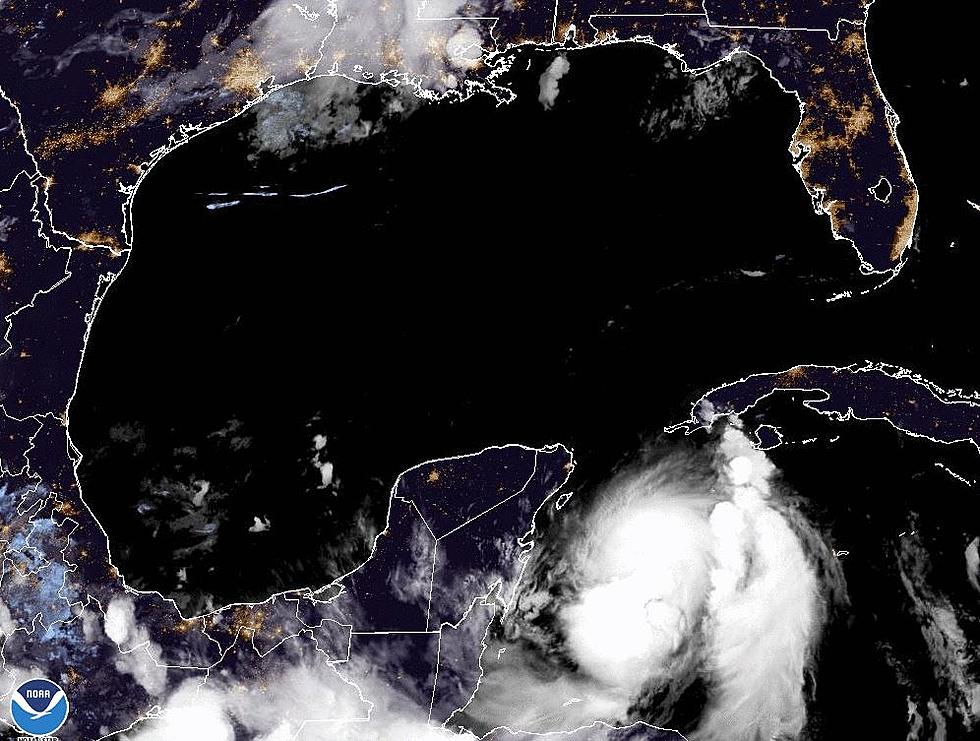
This morning the National Hurricane Center is actually monitoring a potential trouble spot in the tropics. The good news is the system is not in the Gulf of Mexico. The even better news is the system is currently over land. As you know tropical systems require the energy of warm water to intensify. Why would the storm watchers be watching what is basically a typical low pressure system over land?
The low pressure is expected to move off the coast of Georgia and South Carolina where it is expected to stall. That is the reason for concern. There will still be the spin in the atmosphere and in a day or so it will have the energy of warm ocean currents to help it intensify.
As of this morning forecasters say the chances of the system developing into a tropical cyclone are minimal for the next two days. However the potential for development over the next five days is slightly better. This will have to be watched over the weekend but should any development occur it should be very slow in coming.
More From 97.3 The Dawg
