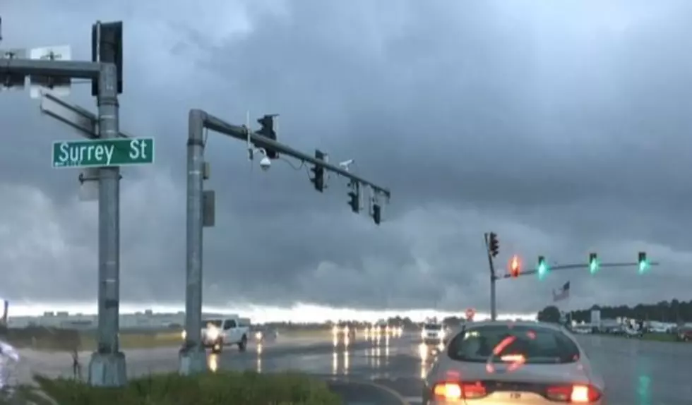

Long-Range Forecast: Cooler Temperatures Coming Soon to Louisiana
(KMDL-FM) In her current state, to say Mother Nature is all hot and bothered would be an understatement. Heat advisories, heat warnings, and just an overall feeling of living in a blast furnace have gripped the Gulf South for the past month or so.

But one of the more reliable long-range weather forecast models, the GFS, is showing signs that fall, or at least fall-like temperatures, will be arriving as far south as I-10 within the next two weeks.
First Weekend of Football Season Could Feel "Fall-Like" in Louisiana
The pre-fall chill-out in the form of a strong cold front is expected to begin moving across the central and eastern sections of the country the last week in August, and by the end of the month, temperatures in those parts of the country could be as much as 20 degrees cooler.
If you'd like to see a dramatic interpretation of this forecast model, check this out. Or if you'd like to see an actual animation model of the GFS, you can find that here. Based on the model animation, it looks as if the system that forecasters say will bring cooler temperatures to the region will be arriving during the day on Thursday, August 27th.

That would mean an August afternoon temperature reading of 93 would clock in at a more desirable 73 degrees. Which I don't think any of us would mind, since the "weekend of the wonderful weather" would coincide with the kickoff of the high school and college football season around the region.
READ MORE: Forecast Predicts Possible Freeze for Mardi Gras 2027
The weather model showing this major temperature trend is the GFS (Global Forecast System), run by NOAA. The National Weather Service is under the NOAA umbrella, so we could say with confidence that the National Weather Service is suggesting a late-August cool-down, but here is the reality of that prediction.
How Accurate Is the GFS Forecast Model?
Long-range forecasts have issues with accuracy. They are good for general planning and gaining a basic understanding of upcoming weather phenomena, but there will be huge variances in timing, temperature, intensity, and duration, and that is where the questions are coming in for these particular runs.
They use a lot of math and fluid dynamics to come up with these forecasts. And as of late, many of the forecast models have been using Artificial Intelligence to fine-tune and create a forecast product that is easier to consume.

The GFS Model is particularly good at forecasting winds and pressure patterns, but it seems to fall short of the accuracy presented by the ECMWF, or European Model. So, the more likely scenario involving the August/September early cool-down is this.

There will likely be a strong cold front to move through the area. Temperatures and humidity will decrease, but they probably won't decrease as much as this initial forecast suggests. Still, a break of a few degrees and a little less humidity would be a wonderful treat as we start to get into our fall football weekends.
READ MORE: Snow For Louisiana This Winter? El Niño Might Make That Happen
Let's hope at least some of this forecast happens.
What's On Sale Between Back-to-School and Labor Day? Plenty
Gallery Credit: Bruce Mikells
More From 97.3 The Dawg