Early Morning Pics & Videos of Ice and Snow in Acadiana
As promised Mother Nature came through with her threats to basically shut down South Louisiana this Lundi Gras and Mardi Gras. I guess it is a good thing we had already postponed or canceled so many events because of the coronavirus already.
There have already been numerous reports of road closures and as the daylight dawns, I would imaging there will be even more roads added to the list. That should give you an indication of just how slick it really is on the roadways.
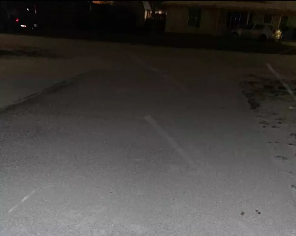
I just took a brief walk to the end of our driveway at our studios and I can tell you the parking lot is treacherous, so I can only imagine what attempting to drive on this would be like. Oh, you can bet the bridges will be worse. We were starting to see a few snow flurries at the time this video was taken, shortly after 3 am.
Meanwhile, a little further north in Opelousas,
This is near the hospital and was taken shortly after midnight. From what I understand St. Landry Parish has received even more sleet and ice over the past few hours. They were just starting to see some snow flurries as well when this video was taken.
And still, further north, I guess we are getting closer to the Arctic Circle, here's what our friend Liz was seeing as she walked out on to her driveway this morning.
Based on the current radar scan from the National Weather Service in Lake Charles it does appear as if most of the precipitation over the next few hours will be to the north and west of Acadiana. This snapshot of the radar screen was made about 3:15 this morning. So you can see there's still a lot more left to move through.

That certainly does not bode well for parts of Southwest Louisiana and Central Louisiana especially if that moisture train keeps rolling over the same areas. Speculation is that the entire mass of freezing rain, sleet, and snow, will slowly progress to the east as individual showers and snow showers slide to the northeast.
The threat of precipitation is expected to remain over the area for the next several hours. We should finally get a break from falling precipitation by the early afternoon Then it's supposed to really get cold.
The official National Weather Service forecast does not call for the temperature to rise above freezing until sometime on Tuesday. Even then, it will barely make it above freezing but the sun should be out. That could help clear up some of the ice on surface streets or just make it worse by melting it a little and then having it refreeze again when the temperature drops below 32 in the nighttime hours.
Meanwhile, for those of you contemplating getting out on the roads.
In a word, DON'T, in two words, PLEASE DON'T. Unless you absolutely have to get on the roadways especially north of I-10 don't even try until conditions improve. And as we've mentioned that doesn't look like it will be any time between now and Mardi Gras.
Flowers That You See In Winter In Louisiana
More From 97.3 The Dawg