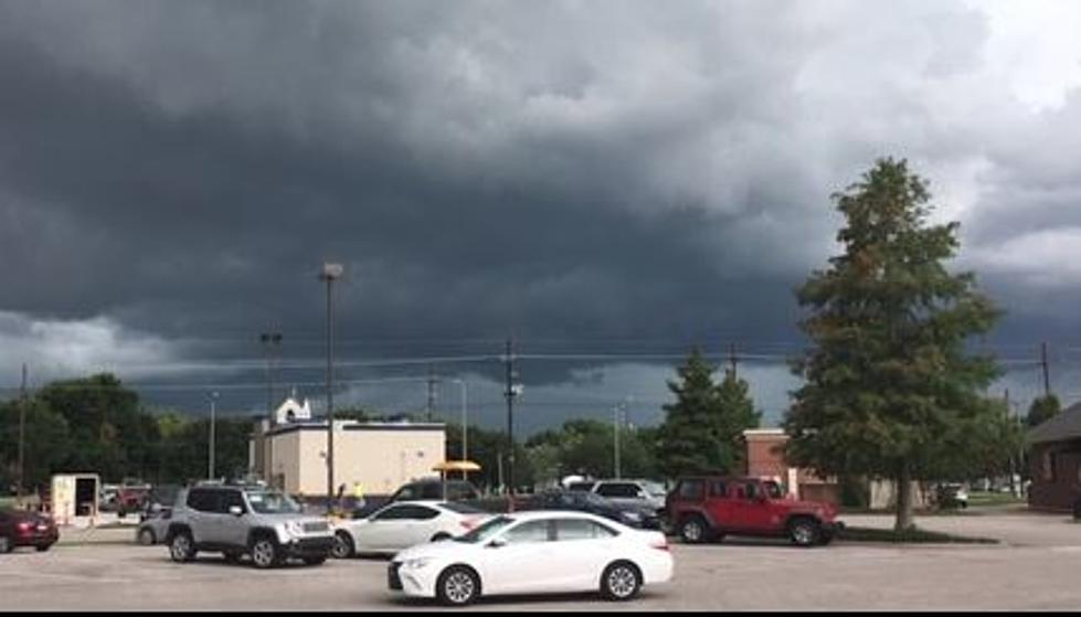
Enhanced Risk – Acadiana in the Crosshairs for Strong Storms
Friday afternoon and evening plans across southern Louisiana might need to be amended later today. A low-pressure system and adjoining frontal systems are expected to push through the area this evening bringing with them the threat of gusty winds, heavy rains, small hail, and even tornadoes.
The Storm Prediction Center has upgraded most of Louisiana's risk of severe weather in those storms later today. Earlier in the week, the SPC was putting most of the state at a slight risk of severe storms. That risk has been elevated to an enhanced risk. You can see the area that is targeted by the Storm Prediction Center that is most likely to experience severe weather.
As you can see in the above graphic forecasters believe our greatest threat for strong storms will come between 2 pm this afternoon and 2 am Saturday morning.
Some of the forecast models, such as the ones used in the Storm Team 3 Weatherlab over at KATC television suggest that the strongest of the storms will likely stay north of I-10. The Storm Prediction Center forecast has Lafayette and Lake Charles on the edge of the enhanced risk and slight risk. Regardless, there's a really good chance of storms this evening no matter where you are in south Louisiana.
Here's what KATC's run of the NAM Model predicts for later this evening across Acadiana.
You'll notice in that model run most of the heavier storms stay well to the north but the model does project at least one squall line breaking away from the main storm cluster and dropping a little further south. Please note this is a model projection and not an official forecast.
Forecasters with the National Weather Service Office in Lake Charles are thinking that the heavier rainfall amounts will be generally north of I-10 as well. In the graphic below you can see a visual representation of where the most rain is forecast to fall over the next 24 to 48 hours.
The Weather Service Forecast suggests that the Lafayette area's rain chances will begin to really ramp up around 4 pm and we can expect heavy showers, thunderstorms, and even severe storms between 4 pm and 2 am. Most of the rain should exit the area by early Saturday morning which means that most plans for Saturday shouldn't be affected.
The skies will begin to clear on Saturday afternoon and things should be spectacular for Saturday night. The forecast for Sunday calls for mostly sunny conditions and a high temperature near 80 degrees.
Oh, one more thing, the storms should help clean the air of some of the pollen and dander that's had so many allergy sufferers up in arms the past few days. That's a good thing. If you need help dealing with your breathing you might want to consider some of these interesting twists on a well-known product that you probably already have in your home.
12 Uses for Vick’s Vaporub You Probably Didn’t Know Existed
More From 97.3 The Dawg
