Hurricane Laura Growing Stronger – 4 AM Update
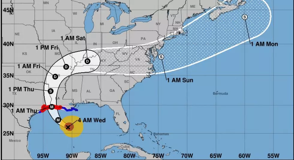
Satellite imagery in the overnight hours has shown that, just as forecasters had predicted, Hurricane Laura is getting better organized and a lot stronger. as of the 0400, AM CDT Advisory from the National Hurricane Center the storm's center of circulation was located a little more than 300 miles south southeast of Lake Charles Louisiana.
The storm's projected track is virtually unchanged from previous advisories. If the forecast trend holds this should put Laura on the coast somewhere between Lake Charles Louisiana and Beaumont Texas later this evening or very early tomorrow morning.
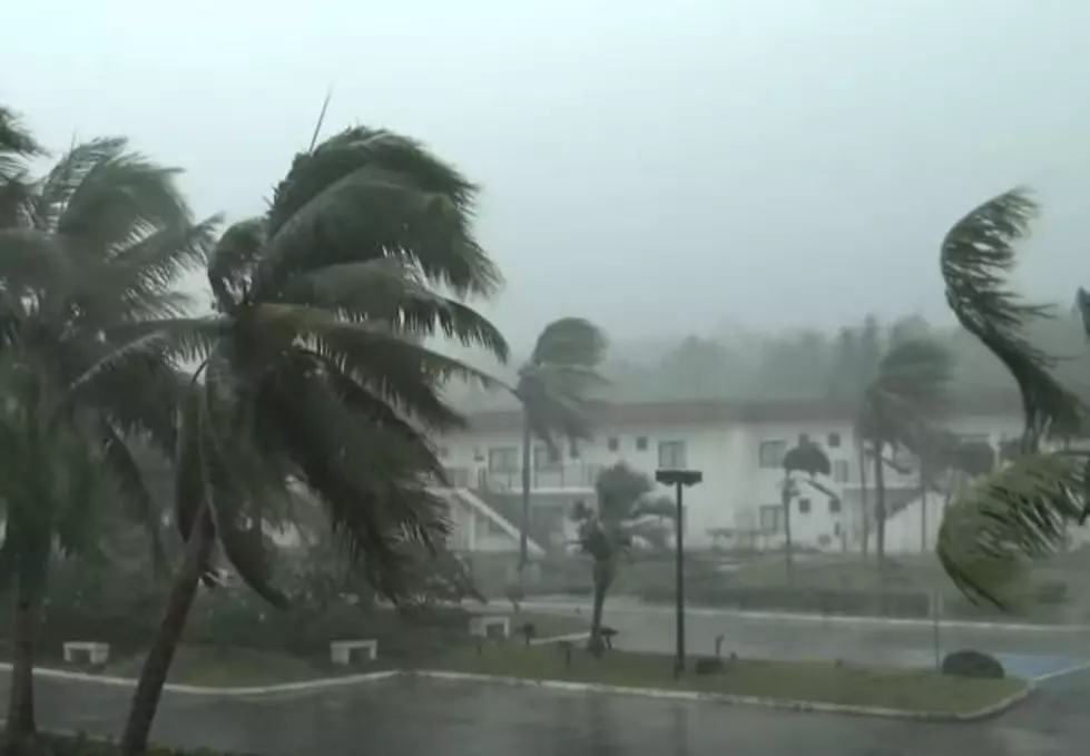
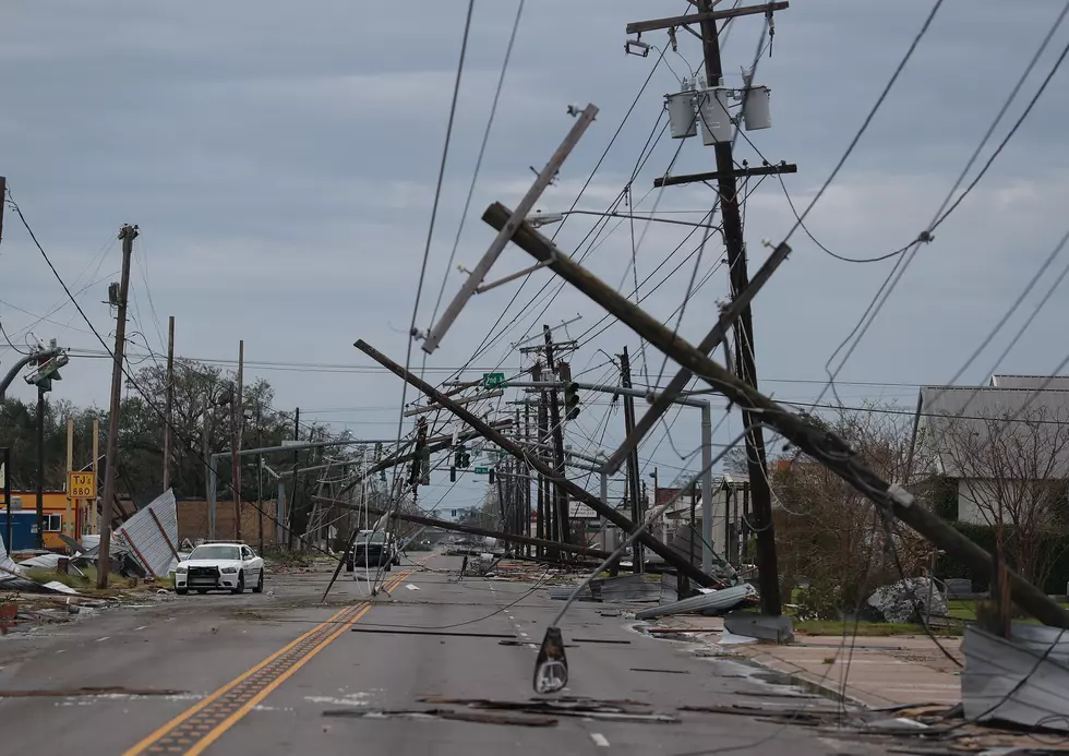
Forecasters say the storm currently has maximum sustained winds of 110 miles per hour and those winds could be on the increase as the storm moves across the northern Gulf of Mexico today.
Hurricane warnings remain in effect for the Louisiana and Texas coastline from Intracoastal City Louisiana to San Luis Pass Texas. A tropical storm warning extends from Intracoastal City to the mouth of the Mississippi River.
Tropical forecast models are in fairly good agreement on the path of the storm. With the consensus of those models suggesting that Laura will cross the coast very near where Hurricane Rita made landfall in 2005.
Here's where the National Weather Service Office in Lake Charles expects the highest winds to be experienced. As you can see most of the western half of Acadiana will experience winds close to or exceeding hurricane strength. Please note that this graphic denotes "potential wind threat".

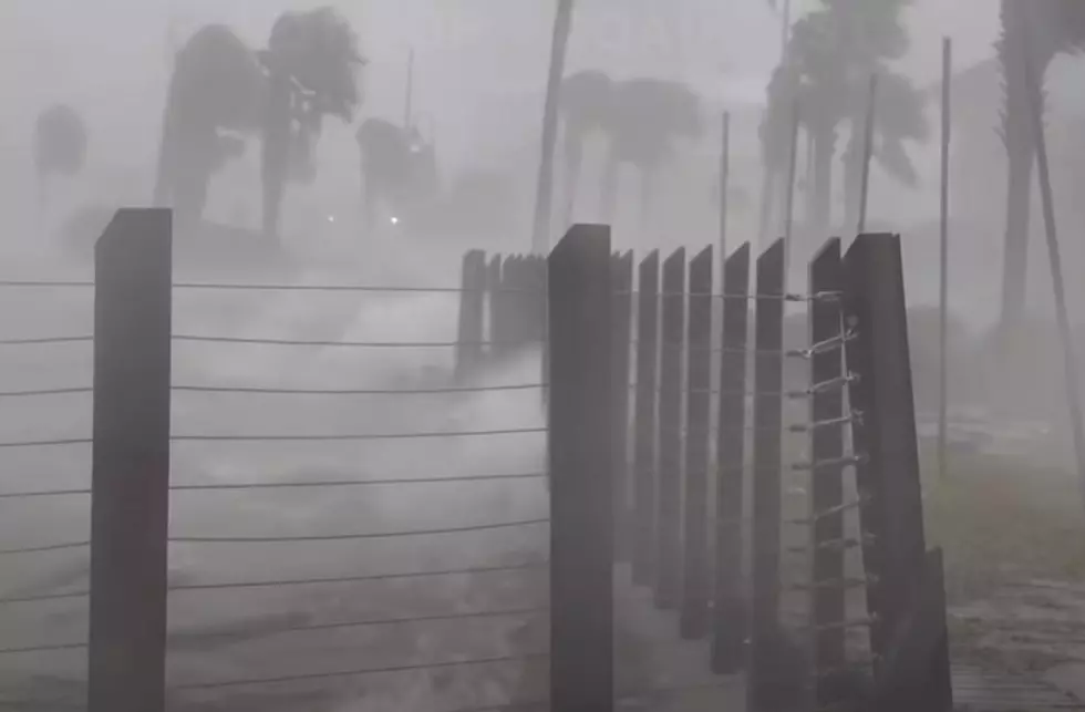
In addition to the high winds, Laura is expected to create a devastating storm surge along Louisiana's coast all the way from the Texas line to the mouth of the Mississippi River. Storm surge warnings for a surge of nine to fifteen feet have been posted for that area.
As far as flooding rains are concerned.

This graphic provided by the National Weather Service Office in Lake Charles should give you an idea of where the heaviest rainfall is expected. As you can see, the majority of Acadiana will experience several inches of rainfall during this storm. Some rainfall totals could exceed forecast amounts, so if you live in a flood-prone area be prepared to move to a place of safety.
More From 97.3 The Dawg