

Get Ready Louisiana, Back-to-Back Hurricanes Becoming More Common
Residents of coastal Louisiana and the Gulf South states of Texas, Mississippi, Alabama, and Florida know all too well about the destructive force of nature known as a hurricane. Every year around the beginning of the hurricane season we hear forecasters tell us their best guess for how many of severe storms will form during the upcoming season and they also let us know which parts of the coastline might be more at risk.
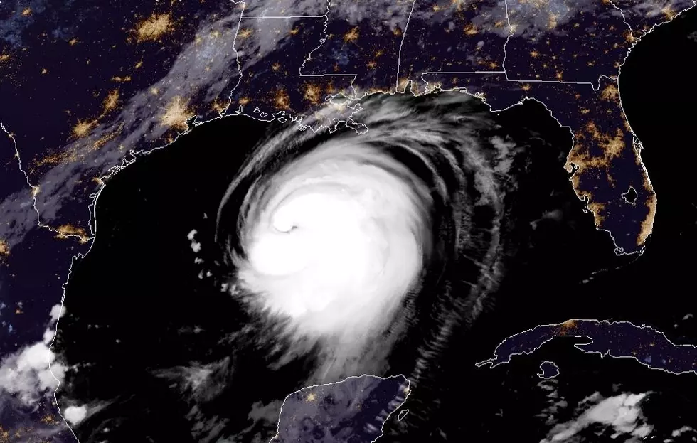
You've probably heard this saying about hurricane season, "It doesn't matter how many there are because it only takes one". Now based on the findings of a research study conducted at Princeton University residents of the coast might soon be making plans for not just one hurricane but two hurricanes making landfall in the same geographical area.
In 2020 Southwest Louisiana experienced just that with the landfall of Hurricane Laura followed about a month later by the landfall of Hurricane Delta. In 2021 you might recall Major Hurricane Ida made landfall in Louisiana, what you probably don't recall is just two weeks later another named storm, Nicholas, came very close to the strike zone left behind by Ida.
Ning Lin who is a risk engineer and climate scientist at Princeton University has studied the occurrence of back-to-back hurricanes and the problems they bring to people who live and work along the coast. In the study, Lin found that the occurrence of landfalling tropical cyclones over the same geographical area is becoming a trend.
There was one caveat to the findings. Lin's research only went back about 70 years. That's about how long good recordkeeping on tropical systems and landfalling storms really started. In the study, Lin found there was not enough real statistical data from previous records to establish a trend so the study included some computer modeling.
Those model projections looked at nine storm-prone areas along the United States coastline and found that seven of the nine would be at increase for storm hazards. The only areas of the US coast that did not show an increase were Charleston South Carolina and Pensacola Florida.
Lin's study suggested that hurricanes are getting wetter and stronger. Many feel the reason those big storms are becoming bigger is climate change. Lin's study stopped short of saying that was the catalyst behind the expected propensity of back-to-back storms. But the increase in strength of the storms and their overall size might play more of a role.
Hurricane Season in the Tropical Atlantic Basin begins June 1st and will last until November 30th.
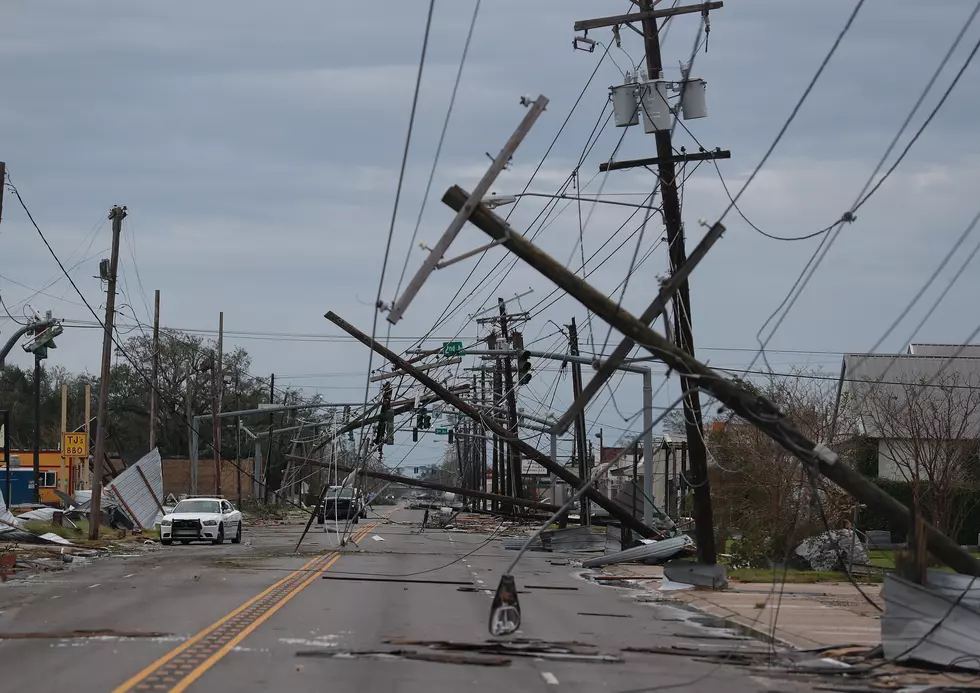
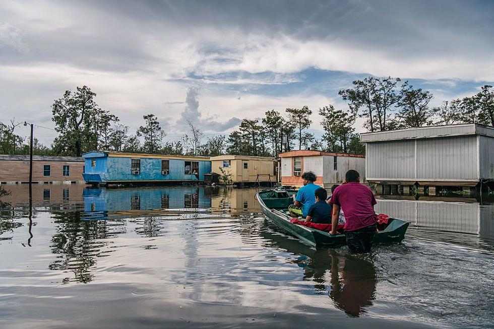
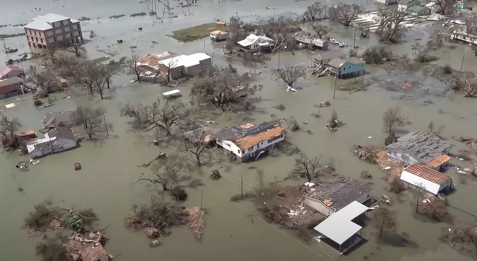
Startling Images of Hurricane Ida Aftermath
Gallery Credit: Michael Dot Scott
More From 97.3 The Dawg


