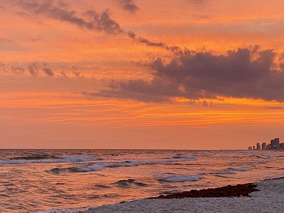
Hurricane Season 2014 Could Be A Quiet One
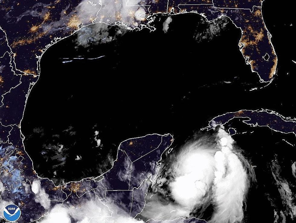
The science of predicting and tracking hurricanes has come a long way in my lifetime. With the use of satellites and Doppler radar systems meteorologist can give the public a fairly accurate timetable of storm conditions will hit and what kind of conditions to prepare for. There have been other advances made in the long range forecast the entire hurricane season as well. Some of the early season prognostications for the 2014 season have just been released and the outlook appears to be quiet.
Over the next few months you will become nauseated with on air weathermen using the term El Nino. Oddly enough this condition which occurs in the tropical Pacific Ocean has a major influence on the tropical Atlantic and the formation of hurricanes and tropical storms.
How does El Nino impede the development of tropical systems? It has a lot to do with wind shear. While hurricanes are strong systems they need calm conditions to form and develop. During El Nino years the winds blowing from the tropical Pacific are stronger as they cross into the Caribbean and tropical Atlantic. These strong upper level winds don't give low pressure systems the opportunity to develop strong convective thunderstorms around their core. In other words the winds blow the heart right out of the hurricane before it can form.
Does this mean there won't be any hurricanes or tropical storms? Absolutely not! Mother Nature does what she wants and conditions can change from week to week. This is where having the eye in the sky and the ability to monitor weather conditions around the globe have really made forecasting hurricanes and improved science.
Still forecasters are calling for a below average season in the tropical Atlantic basin. That could be good news for a lot of people. The bad news is it only takes one hurricane to make the season memorable.
More From 97.3 The Dawg


