

Louisiana Severe Storm Threat More Likely Sunday
The National Weather Service Forecast Office in Lake Charles needs to build a roller coaster on their campus near the Lake Charles, Louisiana airport. This would be indicative of the kind of not-quite spring weather that South Louisiana has been experiencing since January.

Residents of Louisiana have experienced a mixed bag of rain, storms, and even freezing conditions over the past month and half and now it appears as if the state's weather pattern has made the shift to what we are used to for this time of year.
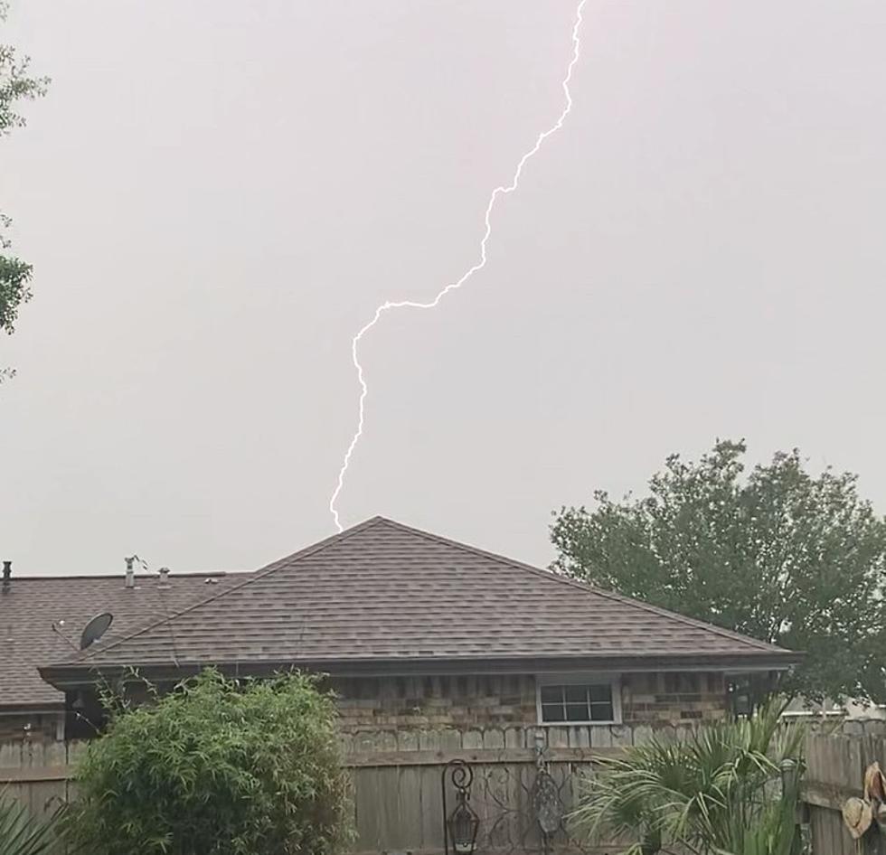
Friday night was particularly stormy across the southern half of the state. Those storms affected northern and central Louisiana earlier in the day but the I-10 corridor didn't really see the strongest storms until right around sundown on Friday.
National Weather Service Says Saturday Should be Much Quieter
The official forecast from the National Weather Service has confirmed that Saturday should not be a bad day as far as the weather conditions go across South Louisiana. Rain chances for Saturday during the day and well past midnight Saturday night are calling for a 30% chance of a passing shower.
Forecasters in Lake Charles made a special note in their forecast presentation that suggested there will be strong storms arriving in the area but as of now the forecast timing predicts that bad weather won't arrive until almost dawn on Sunday morning.

Just to be clear, we're not saying there won't be a shower or storm on Saturday, but the most likely time for strong storms will come in the overnight hours and during the day on Sunday. Below is Storm Prediction Center's graphical forecast for expected storms on Sunday.

As you can see that marginal threat of severe storms includes the entire I-10 corridor from southeastern Texas through Louisiana, Mississippi, Alabama, and Florida too. There is a frontal boundary that is expected to linger right along the coast, that will be the catalyst for showers and storms Sunday and Sunday night. The National Weather Service has put the probability of rain and storms at 90% for Sunday and Sunday night.
This "break in the forecast" should bode well for revelers who want to enjoy Lafayette's Patty in the Parc on Saturday evening, the Wearing' Of the Green in Baton Rouge, and the St. Patrick's Day Parade in New Orleans. We can't promise you won't get a few raindrops on your shamrock during those events but, based on this revised forecast you shouldn't have that big of an issue during the day and into the evening hours.

And while the forecast does look a lot more promising for outside events today, you will still want to be weather aware. Make sure you have our station app downloaded.

You may turn on alerts for Breaking News and Weather, this will advise you of any change in weather conditions for where you are. Be safe, and enjoy your weekend. And get ready for a bit of a chill to return to Louisiana for next week.
12 Things You Know if You're From Louisiana
Gallery Credit: Bruce Mikells
More From 97.3 The Dawg


