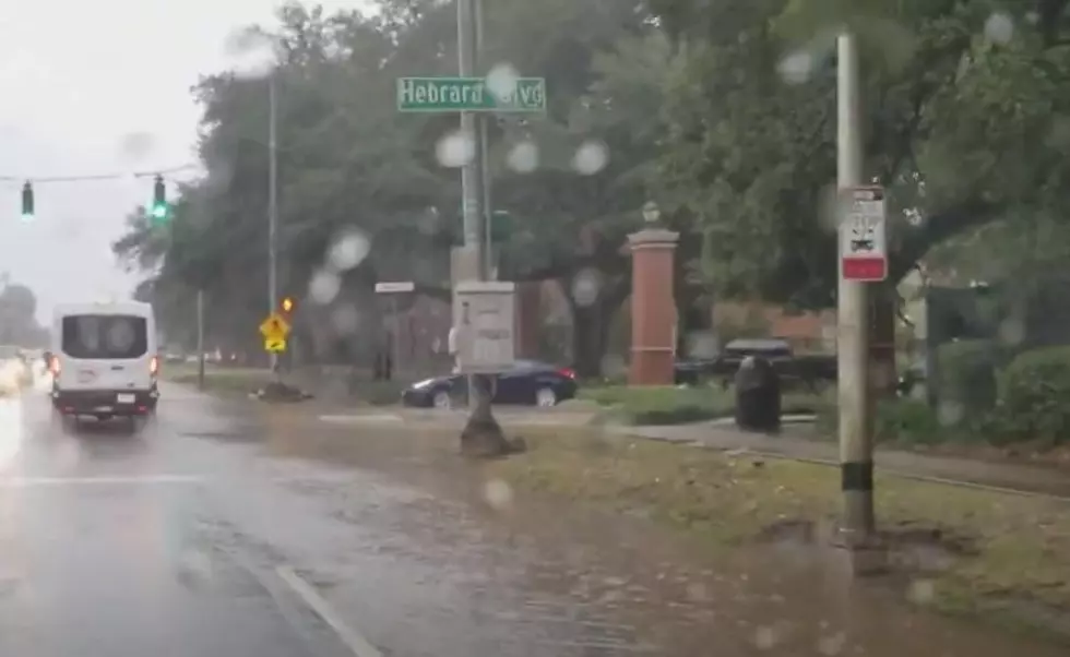
Severe Weather Possible for Lafayette and Lake Charles
Quick, what was the weather like last weekend? I know, it's an unfair question. You've slept since then and last weekend was New Year's weekend. It was warm. Remember how we spent Christmas in "summer mode" and that all ended last weekend? Well, this weekend's weather is going to be similar and actually maybe a little rowdier.
Here's what's going on. You might recall we started last week very cold. We warmed up a bit by Wednesday and then had a cold front pass through on Thursday. Yesterday was cold but gorgeous. Today the atmosphere is unsettled and the map below from the National Weather Service illustrates why.
That low-pressure system in Texas is pulling warm moist air out of the Gulf of Mexico and that is interacting with the conditions over land. It's also providing for some gusty winds across the region as well.
By this afternoon forecasters believe showers and thunders will start to develop along and north of the warm front. Conditions will also be conducive for showers and thunderstorms behind the front. For the I-10 corridor, you can expect the heavier showers and or storms to develop after 3 pm and then stick around for a good part of the evening.
On Sunday a cold front will approach the area from the northwest. This system will interact with the warm moist air that slid over the area on Saturday. As you might imagine there will be a better threat of stronger thunderstorms with this system.
As of now, the Storm Prediction Center has only extreme western sections of Louisiana in the Marginal Risk zone for severe storms today. That threat area expands to cover almost all of South Louisiana from Lake Charles to southern Alabama on Sunday.
However, that severe threat will be decreasing from the west as the frontal system moves eastward throughout the day.
What is the Timeline for the Rain?
If you need real-time rain information, KATC TV has their new Doppler Radar and it is really accurate and super easy to use. But here is a really educated guess scenario from meteorologist Bradley Benoit. His article on the KATC site really brings it into focus.
In a nutshell here's what Bradley and the HRRR weather model are suggesting will happen for Lafayette and Lake Charles for today and Sunday. First, the outlook for Saturday.
Based on the HRRR Model run it doesn't look as if South Louisiana will see showers or thunderstorms of significance until mid-afternoon or later. The threat of showers and storms will linger through the overnight hours and on the HRRR Model run for Sunday, you can see the storms associated with the front beginning to enter the northwestern sections of Louisiana.
Our advice, based on what the Weather Service and the crew at KATC are telling us to tell you, get your outside activities done by early this afternoon and get ready to enjoy a rainy night. And be ready for a stormy Sunday.
10 Festivals We Don't Have in Louisiana But Need
More From 97.3 The Dawg
