Showers + Storms to Begin Acadiana Workweek
What is that old hit from the brother/sister duo The Carpenters that was all the rage in the 70s? Oh yeah, Rainy Days and Mondays, we're probably going to have exactly those conditions as we begin this workweek in South Louisiana.
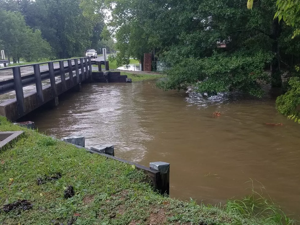
After a very gray and gloomy but not too cold weekend, a cold front will push through the area today. This front will kick off some strong thunderstorms but forecasters with the Storm Prediction Center believe most of the strong storms will be along the I-20 corridor into southern Arkansas.
A Dense Fog Advisory has been posted for Iberia, Vermillion, St. Mary, and Lower St. Martin Parishes to start the day. Once the fog yields to the rising sun we will see mostly cloudy skies across the area. The fog will also dissipate as conditions will become rather breezy across the region as well.
Forecasters with the National Weather Service Office in Lake Charles are saying rain chances will be on the increase as the day wears on. If you're wanting the timetable for the rain, right now it looks as if the heaviest showers will fall between Noon and 7 pm.
Things should quiet down for the evening but there will be another round of showers and storms for the area by Tuesday night. Those showers should begin to taper off during the day on Wednesday. A stronger cold front pushing through the area will also drop temperatures late Wednesday afternoon into the evening hours.
By Thursday we could see an abundance of sunshine with much cooler temperatures. We should stay sunny and cool for Friday and Saturday with a chance of showers returning by late next weekend.
Six Reasons Your Coffee is Bitter
More From 97.3 The Dawg