

Timing Revised (Again) for Severe Storms Saturday in Louisiana
Meteorologists across South Louisiana from the National Weather Service Forecast offices in Lake Charles and New Orleans/Baton Rouge, as well as our trusted partners on TV in Lafayette, Lake Charles, Lafayette, and Baton Rouge, have really been watching today's storm system closely for you. Not only because this system represents a threat to you and your family's safety but there are a lot of outside activities planned for today.
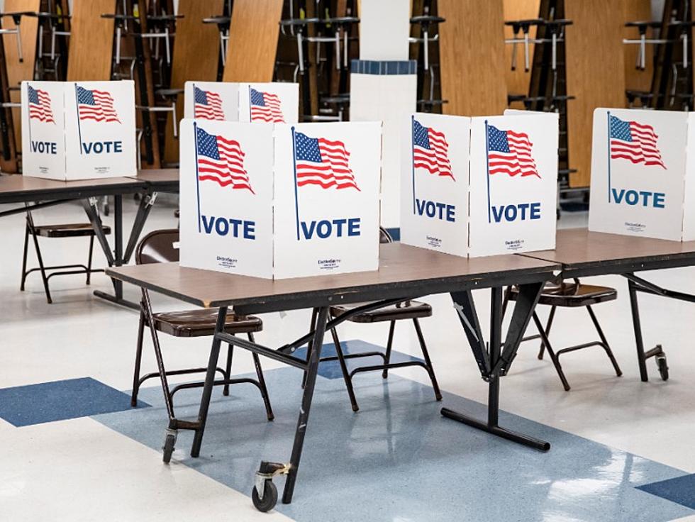
Among the things you could be doing is voting. Yes, some parishes in Louisiana have an election today. To find out if you do, follow this link. There are Mardi Gras parades and events a-plenty today. You can find the schedule for those with this link.

There is college baseball. Both the University of Louisiana and LSU have altered start times today to accommodate the potential weather issues. Both LSU and UL softball are hosting tournaments in Baton Rouge and Lafayette respectively.
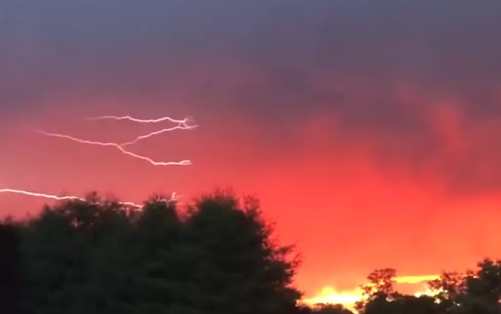
While we often consider how the weather forecast will affect our plans first, in this case, we might need to be a lot more concerned with safety. This storm system will bring a lot of energy into Louisiana. The Storm Prediction Center has the entire state at risk for severe storms.

In the graphic from the SPC, you can see the greatest risk for severe storms and tornadoes is in northeastern Louisiana and all of Mississippi. That area is at an enhanced risk of severe storms, while the rest of Louisiana is at a slight risk. According to the National Weather Service, the difference between "enhanced" and "slight" is defined below.

There will likely be a risk of tornadoes associated with some of the storms that move through the area later this afternoon and evening. But tornadic winds are the only winds you need to be concerned with today. The National Weather Service Forecast Office in Lake Charles produced this graphic about straight-line winds.

Those are the big wind gusts that take down fences, awnings, trees, and signs. Some of the gusts in some of the storms could exceed tropical storm strength and approach category 1 hurricane strength, just to give you a point of reference.
The good news about the way today's forecast is going to shake out appears to be that the strongest storms will move through southern and central Louisiana much later in the day than first thought. In fact, in this GRAF model projection from KATC TV in Lafayette, the model suggests the storms might not arrive in Acadiana until almost midnight tonight.

The downside to that is severe storms at night make storm spotting difficult. That means if any of these storms start to rotate or form a funnel cloud, we will have to depend on Doppler Radar to provide warning information. Fortunately, today's modern radars do a great job of that.
For timing purposes, we will choose Lafayette as our reference point on when the storms might arrive in the area. If you live west of Lafayette, expect storms to arrive sooner. If you leave east of Lafayette, the storms will be arriving later.
There will be passing showers and potential thunderstorms parading across the area later this morning and into the early afternoon. Most of these outlier showers and storms ahead of the front will be moving swiftly and will move out almost as fast as they move in. Some of these storms could go rogue and become severe but that would be the exception and not the rule.
The main line of storms will begin moving into the area shortly after sundown. Lafayette and Acadiana will likely experience our strongest storms between 10 pm and 2 am. Once the storms have moved off to the east conditions will improve and temperatures will drop. The forecast high in Lafayette for Saturday is 80 degrees. The high on Sunday is expected to only be 58.
But the really cold weather won't show up for a few more days. We could be looking at another frost/freeze situation along I-10 by Wednesday and Thursday.

We suggest you keep your eyes on the sky this afternoon and make sure you have our app downloaded to your phone.

Make sure you have Breaking News, Weather, and Traffic Alerts turned on for parade information and storm information throughout the day. Should threatening conditions develop or traffic situations unfold later this afternoon and evening we will send that information directly to you via the App.
10 Best Cajun/Creole Seasonings
Gallery Credit: Jude Walker
More From 97.3 The Dawg


