Tropical Activity Ramping Up For Peak Of Hurricane Season
Monday, September 10th marks the climatological peak of the Atlantic Hurricane Season. It also looks as if the mathematical formula forecasters use to determine the peak of hurricane season is on point as well. Since there could be two or maybe even three active tropical entities in the Atlantic Basin by Monday.
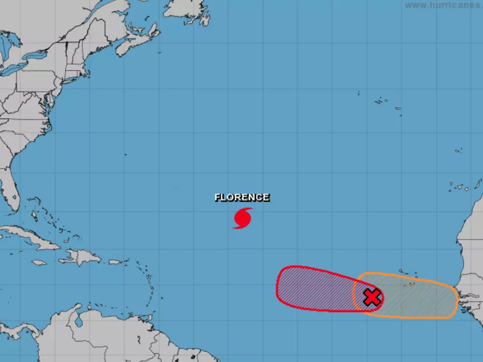
The most prominent tropical feature on the map right now is Hurricane Florence. Florence has weakened a little in the overnight hours but it's still a very powerful hurricane. The spaghetti models for Hurricane Florence suggest that forecasters are really unsure of the ultimate track of this system. Some of the models keep the storm at sea. While others bring the storm fairly close the Eastern Seaboard of the United States.
To the east of Florence, there are two potential tropical trouble spots that the National Hurricane Center is watching for further development. One of those, a tropical wave southwest of the Cabo Verde Islands has been given a 90% probability of strengthening into a tropical cyclone by Monday. Some of the long range forecast models do track this system across the Atlantic and dangerously close to the United States by the middle of next week.
There is yet another tropical wave even closer to Africa behind Florence and the aforementioned tropical wave. This system is given a 50% probability of growing into a tropical cyclone by Monday.
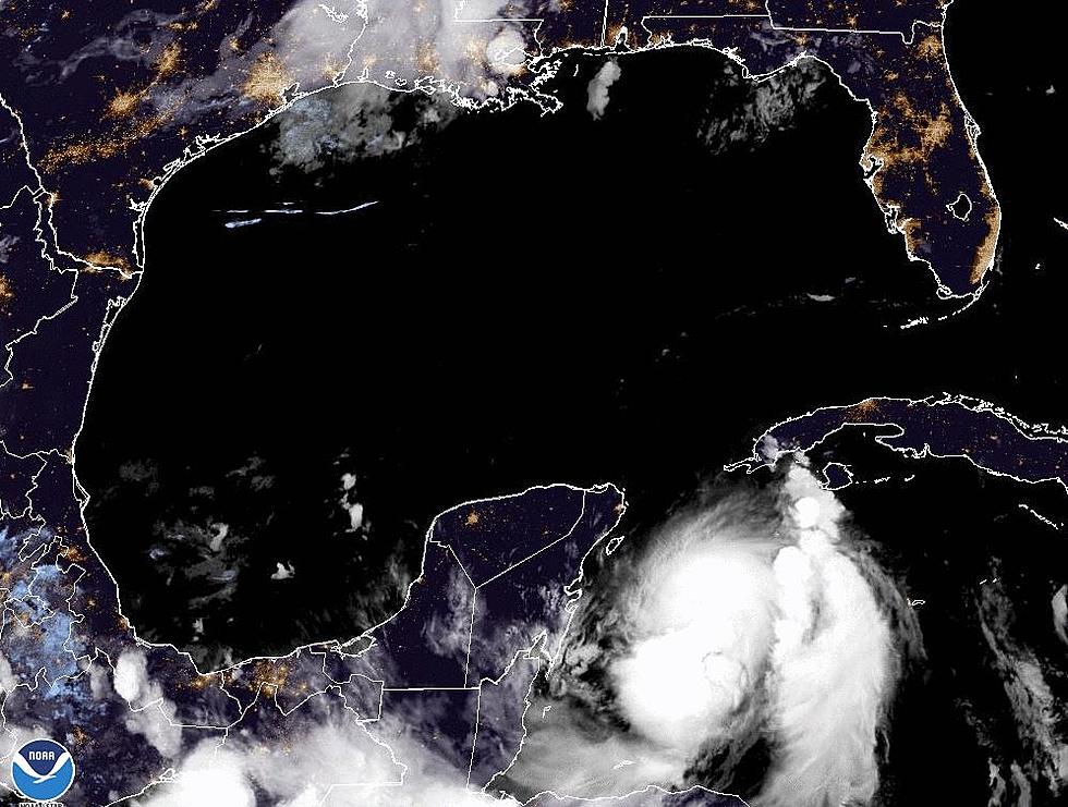
And just to keep you even more awake another tropical model is showing an extremely long-range solution that puts a tropical entity in the Gulf of Mexico about two weeks from now. That model is certainly subject to change so don't go changing any plans just yet.
And we just thought it was going to be a totally quiet tropical season, didn't we?
More From 97.3 The Dawg


