Tropical System Could Bring Heavy Rain To Acadiana
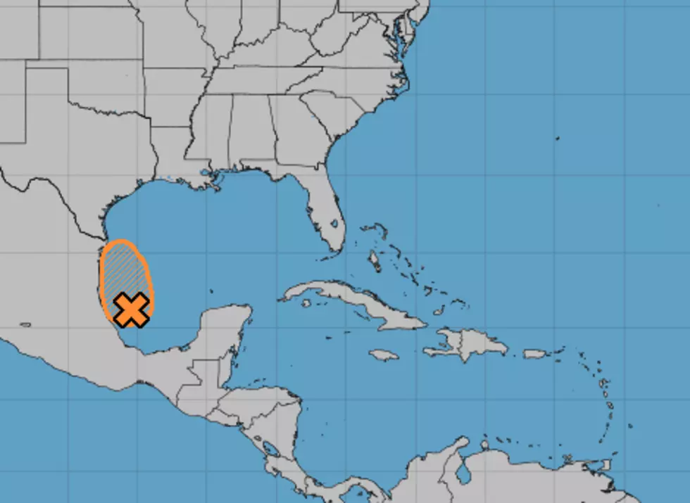
Anytime there is a tropical entity, be it tropical storm, hurricane, tropical depression or in this case an area of disturbed weather, in the Gulf of Mexico we pay attention.
The reason?
When you look at the shape of the Gulf, there is nowhere for the system to go without affecting the coast. While the threat from an area of disturbed weather in the Bay of Campeche may not have us on high alert for a hurricane, we still need to be vigilante for some of the other issues tropical systems bring.
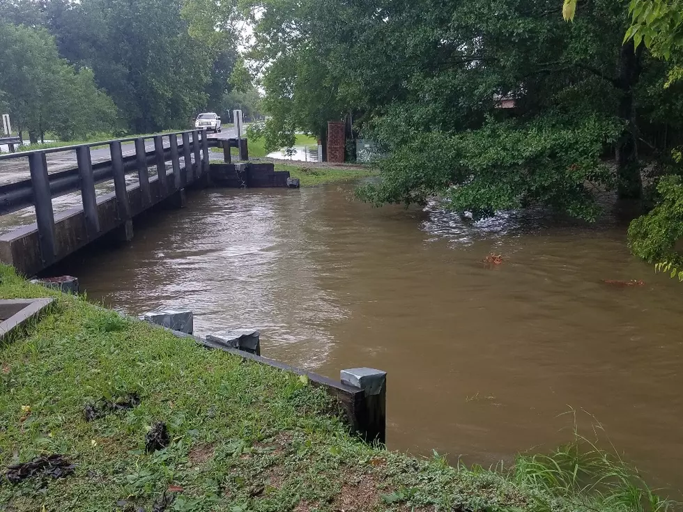
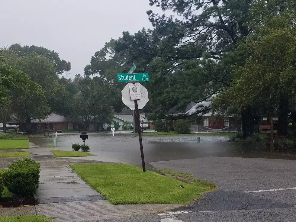
In our case, the biggest issue we will likely see from this system is heavy rain. Forecasters with the National Hurricane Center are giving the area of disturbed weather a 50/50 chance of developing into a tropical cyclone before it moves onshore in northern Mexico later today or early tomorrow.
A lot of the moisture associated with this system is expected to be picked up by an upper-level low-pressure system moving across far west Texas this morning. That system will likely create enough instability in the atmosphere to create torrential downpours for much of the Gulf South over the next several days.
Some of the forecast models suggest many areas of Acadiana will be dealing with two or more inches of rainfall between now and this weekend. It will all depend on the track of the upper-level system and where the moisture from the tropical system interacts with it.
The bottom line. We could see some breezy conditions. We will likely see higher tides and wave action along our coast. We will likely see heavy rain too. That's what we can expect for the remainder of the work week.
More From 97.3 The Dawg