Another Round of Severe Weather Looming for Louisiana
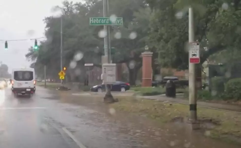
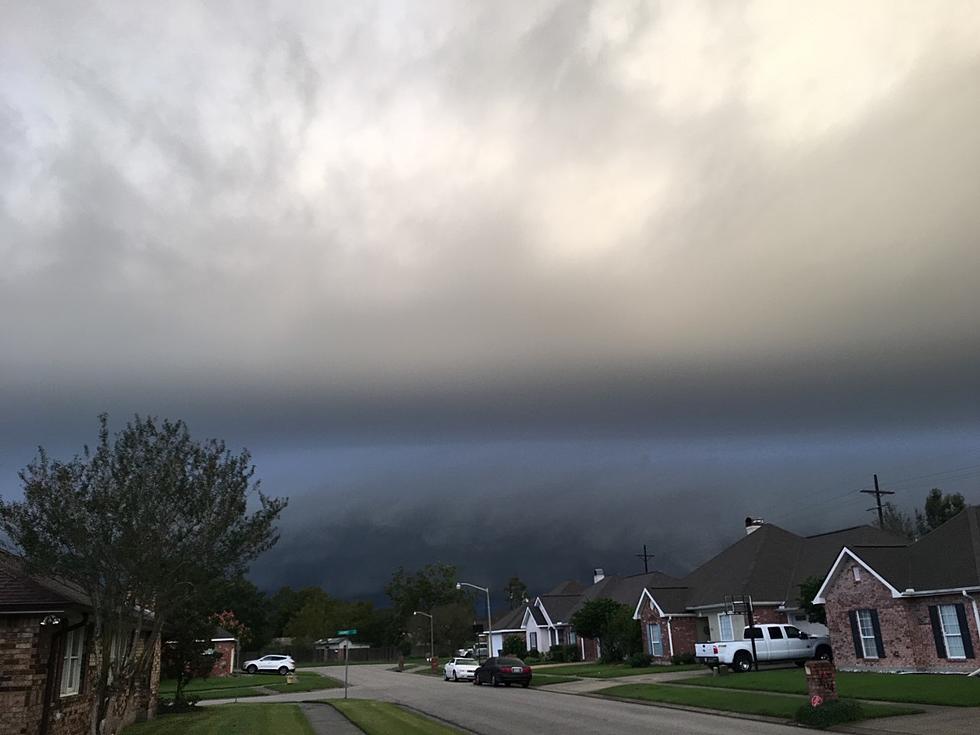
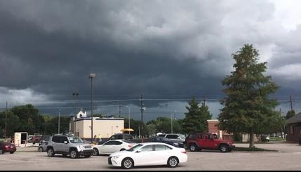
It's a good thing the great Facebook and Instagram outage of 2024 only lasted a few hours in Louisiana yesterday. That's because residents from Lake Charles to Lafayette to Baton Rouge and New Orleans needed social media platforms to share their pictures and videos of severe storms that rumbled across the area during the mid-morning hours of Tuesday.
There were several reports of hail as large as golf balls across South Louisiana. There were also some reports of wind damage and a few reports of standing water on roadways too. Yesterday's storms have now moved well off to the east and at least for today, Wednesday, and tomorrow Thursday those of us who live along the bayous of Louisiana can breathe a little easier.
The Calm Before More Storms for Louisiana
The Storm Prediction Center which accurately predicted Monday and Tuesday's inclement weather across Louisiana has a large portion of the state in the crosshairs for more boisterous storms on Friday.
As of now, the SPC is suggesting the greatest threat of stronger storms will come Friday across Louisiana generally north of Interstate 10. As you look (above) at the graphic from the Storm Prediction Center you can see that cities such as Lafayette and Baton Rouge are on the southern perimeter of the forecast zone while the northern border is basically the state line with Arkansas.
The "15% " that you see depicted in the graphic is a notation from the SPC that suggests any point within 25 miles of the forecast area will have a "15% probability for severe thunderstorms". When you consider the size and scope of the advisory forecasters are suggesting that everyone in Louisiana will need to be weather-aware on Friday.
Here's how the Lake Charles Forecast Office of the National Weather Service depicts our late-week weather in graphic form.
You can see the same outline for severe storms but the LCH Office has also included a map of rainfall potential for storms that could start late Thursday and continue across the region through Friday.
The preliminary timing on when the worst of the weather will arrive suggests that Friday morning's ride into work and school in cities such as Lake Charles and Lafayette should be calm with only a few sprinkles. However, the big thunderstorms will move into and through the area around lunchtime. The majority of big storms should exit the area late Friday night or early Saturday.
The weekend across Louisiana will feature a mix of clouds and sun with temperatures slightly cooler than seasonable averages.
10 Best Cajun/Creole Seasonings
Gallery Credit: Jude Walker
More From 97.3 The Dawg


