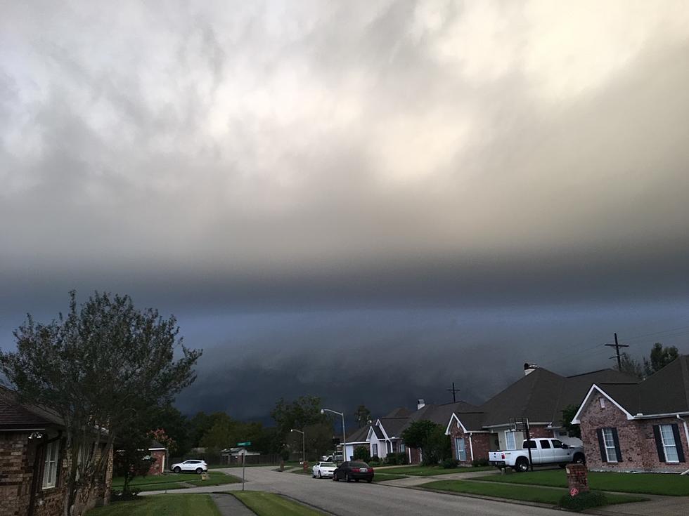
Flash Flood Watch Posted For Acadiana
A large plume of abundant tropical moisture is currently being pulled northward across the Gulf of Mexico by a weak tropical disturbance and the jet stream. That is the reason forecaster have posted flash flood watches for most of South Louisiana until at least Sunday.
The south to north movement of the moisture will result in heavy rainfall today and into the early part of the evening. Rainfall amounts of 3 to 5 inches will not be uncommon across most of the area. Forecasters say that some locales could see in excess of 6 inches of rain before the faucet is finally turned off.
Many municipalities have already taken preventative and proactive measures by making sandbags available for citizens that might need them. While rain is forecast for the next 12 to 36 hour period there will still be brief periods of torrential downpours and the motion of many of these storms could bring prolonged and repeated heavy rain.
Water vapor imagery from NOAA weather satellites shows the potential for thunderstorms to train across the area. That means that as rainfall moves over and through an area, another thunderstorm forms right behind the first one and moves in a similar path creating the prolonged downpours.
Most forecasters agree the threat of significant heavy rain will subsided by this evening and the rest of the Labor Day Holiday will be more typical of this time of year. Namely sky conditions will be partly cloudy, it will be humid and there will be a chance of afternoon showers or thunderstorms.
More From 97.3 The Dawg
