
Lafayette Weather – Rain Chances Stay In Forecast, Storms Possible Saturday
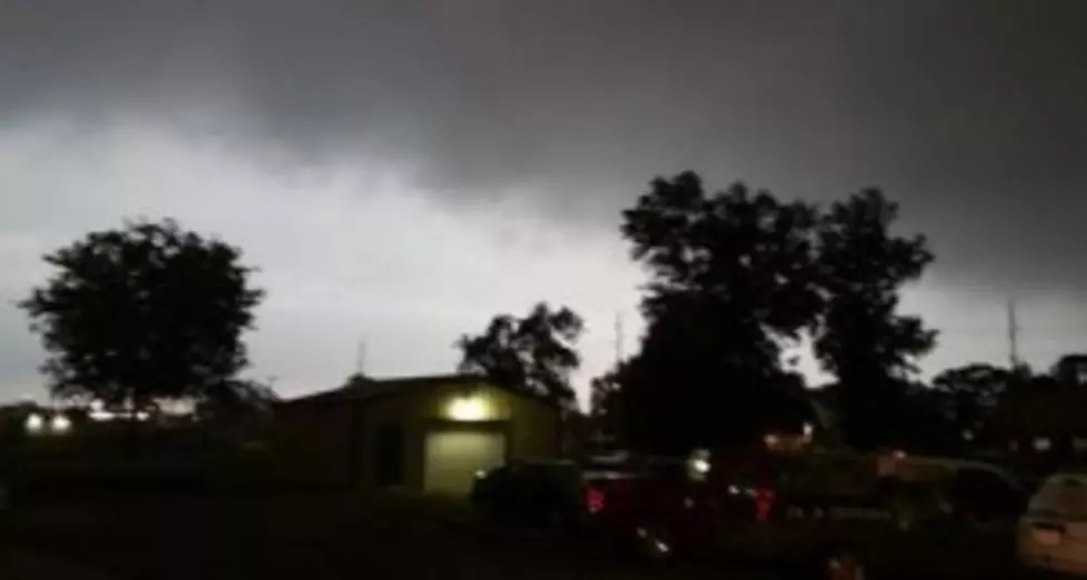
Yesterday morning a strong band of thunderstorms raced out of Texas across South Louisiana. That line of thunderstorms prompted severe thunderstorm warnings for much of the area through mid-morning. The good news is that system has moved out of the area and the threat of storms today is minimal.
Forecasters say an area of high pressure behind the system that brought the storms yesterday will keep the forecast quite calm for today and Friday. There is still an abundance of moisture in the area so the threat of an afternoon shower of thunderstorm can't be ruled out. Rain chances are only 30% for this afternoon. The chances are if we do get any rain today it will be between noon and 8pm.
Friday rain chances are slightly higher especially late in the day. The daytime heating combined with an approaching weather system could spark off showers and thunderstorms Friday into Saturday. There could be a severe weather threat for the area late on Friday or on Saturday.
There will be at least a threat of late afternoon or early evening showers or thunderstorms in the area through the weekend. The greatest threat of rain does appear to be on Friday into Saturday.
More From 97.3 The Dawg


