Lafayette Weather – Rainy Start To The Work Week
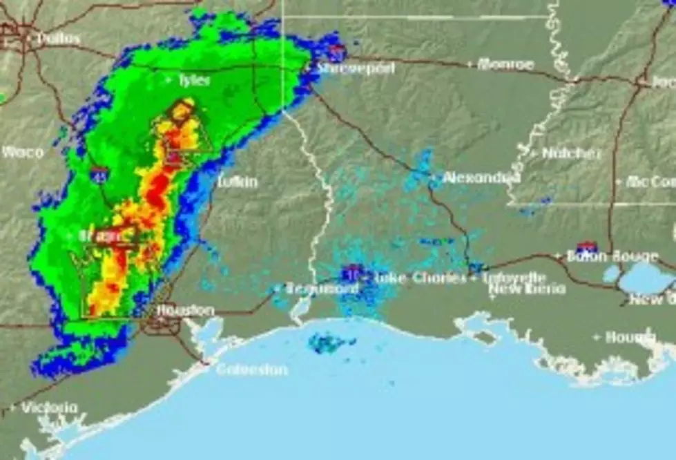
After a weekend that saw severe weather rumble through parts of Acadiana there could be another repeat today. The Storm Predication Center says there is an enhanced threat of heavy storms during the day today. The threat of severe weather should lessen tomorrow but the chances of more rain will stay with us through Tuesday.
A cold front is expecting to move across our part of the state during the afternoon hours today. That front will provide the lift the atmosphere needs to become very unstable. As with many cold fronts this time of year the change in wind direction and speed in the upper atmosphere will create the potential for severe weather. There is a possibility that at least a part of the listening area could find itself under a severe weather watch at sometime during the next 24 hours.
The greatest weather threat appears to be heavy rain, frequent lightning, strong winds, and the potential for some small hail. Anytime there is severe weather in the area the possibility of an isolated tornado exists as well.
Rain chances will diminish in the nighttime hours but a 50% chance of rain and thunderstorms is in the forecast through tomorrow. By Wednesday skies should clear and there should be an abundance of sunshine for the balance of the work week into the weekend.
More From 97.3 The Dawg