Lafayette Weather – Severe Storms, High Winds Possible Later Today
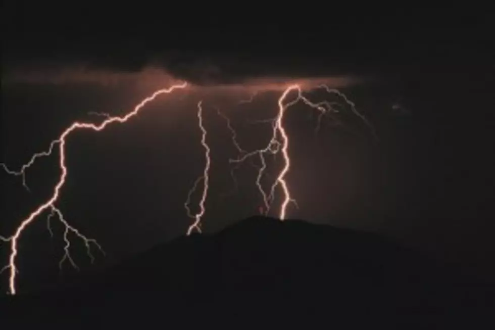
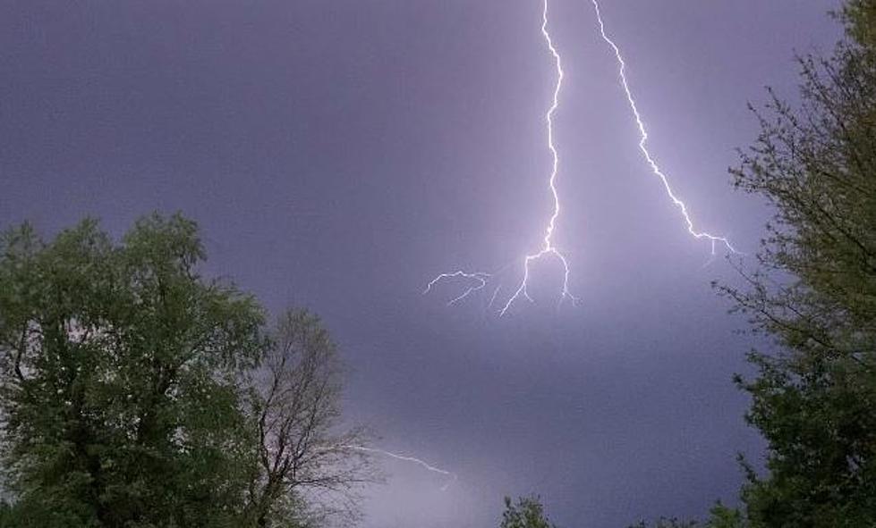
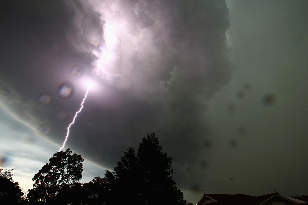
When forecasters in South Louisiana speak of afternoon temperatures near 80 degrees in Mid January they will almost certainly be speaking of severe storms too. Such is the case today in Acadiana. A large area of unseasonably warm moist air is about to meet an approaching cold front. The combination of heat and humidity along with upper air flow could create a severe weather event over much of Acadiana late Tuesday into early Wednesday morning.
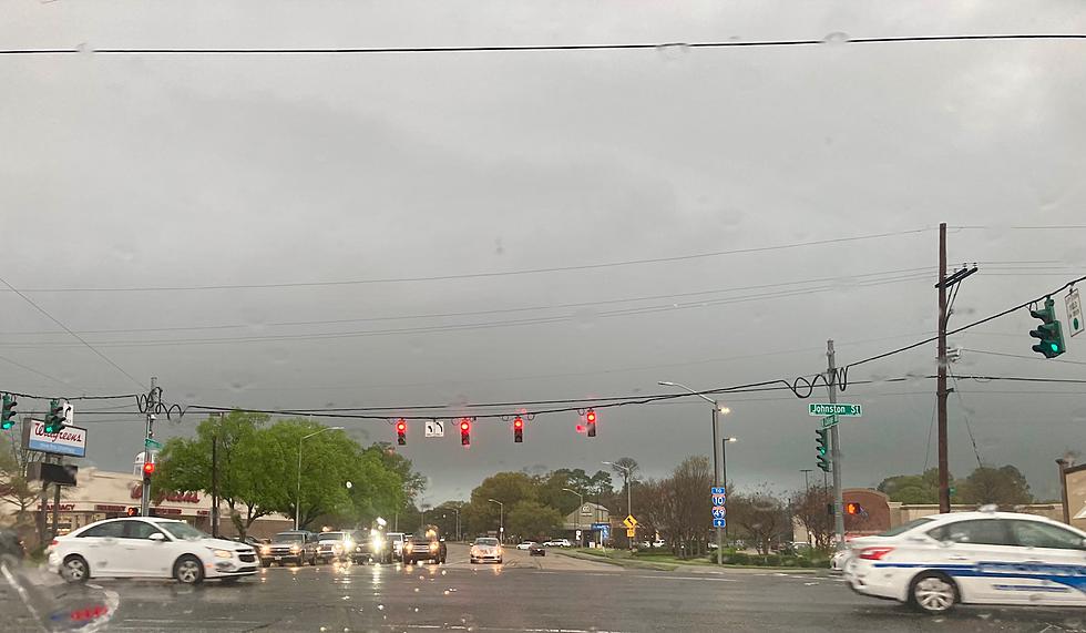
The Storms Prediction Center has posted a slight risk of severe weather for the 97.3 The Dawg listening area through Wednesday morning. There is a greater threat of severe and tornadoes to our north and east. Gusty southerly winds will also be an issue today. Drivers of high profile vehicles, especially along our east to west roadways will feel the effects of wind gusts to 30 mph.
Many future forecast models predict the development of a a squall line ahead of the frontal passage. This should move through the area between 9pm tonight and 3am Wednesday. After the frontal passage temperatures will cool to more seasonable levels and the humidity will be lower. The forecast for the weekend of Mardi Gras festivities should be a great one with clear skies and comfortable temperatures.
More From 97.3 The Dawg


