Tropical Update – Atlantic System Needs To Be Watched
Yesterday morning Dave Baker took the long trip across the Scenic Sunbeam Coulee to come visit with us on the Bruce and the Kennel Club Show. Dave only makes that trip for one reason. He is out of coffee in the KATC commissary. But since he was here, we asked him about a tropical wave in the Western Atlantic Ocean that was showing signs of development.
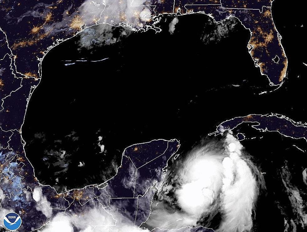
Dave and the forecasters at the National Hurricane Center agree, this elongated area of low pressure just east of the Windward Islands is becoming better organized. The overnight observations suggest that there was not significant development over the past few hours but strengthening is likely. Conditions in that part of the world should become more conducive for tropical development over the next 48 to 60 hours.
The reliable tracking models are still just guessing at this point. It's a hard to make an accurate forecast on a system that has yet to develop but here is what the models are suggesting at this point. Most of the models are developing the system into at least a tropical depression over the next few days. The Hurricane Center list that probability at 70% over the next 5 days.
The track of the system if and when it develops has shifted a bit to the right or east. This would pull the system away from the Caribbean and the Gulf of Mexico. The ensemble of forecast models is now showing a decided northerly turn with this system. Many of the models suggest that this system, other than a brush with the Bahamas or maybe Cuba will remain out to sea and not affect any major land mass in the United States.
Still this long range forecasts are not as accurate as we would like them to be so the system remains on the watch list and Hurricane Hunters might be asked to fly into the system later today or tomorrow to gather better and more specific data.
More From 97.3 The Dawg


